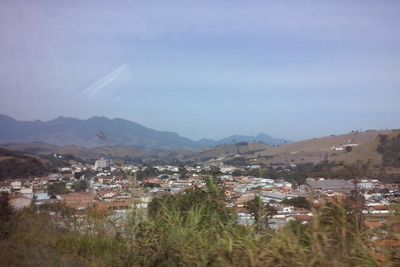
Itanhandu, Municipality in Minas Gerais, Brazil
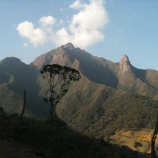
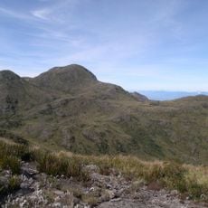
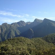
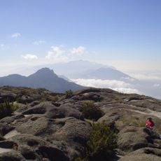
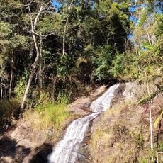
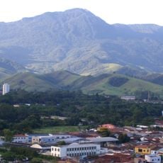
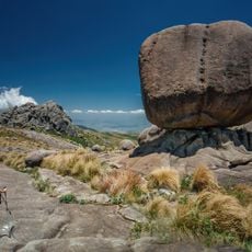
Itanhandu is a municipality in Minas Gerais situated in rolling hill country in southeastern Brazil, extending over several hundred hectares. The terrain rises to around 1000 meters elevation, creating a landscape with a distinctive natural character.
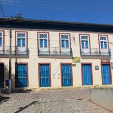
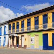
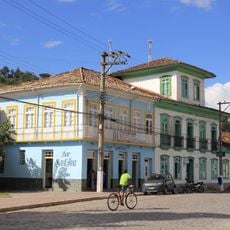
The town was founded in the mid-1800s as an administrative center in the São Lourenço region. This establishment shaped how the local economy and infrastructure developed.
The town's calendar includes gatherings where residents and visitors experience local music, regional dishes, and customs rooted in the broader Minas Gerais tradition. These celebrations reflect how the community preserves its rural character and connection to the surrounding landscape.
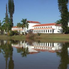
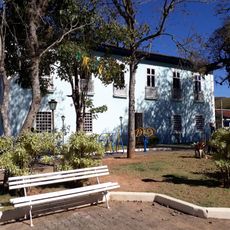
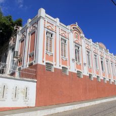
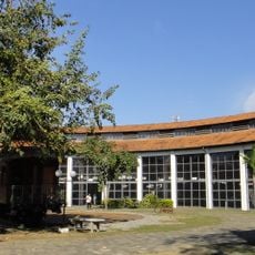
Visitors find basic services and facilities here that matter for daily life, including health centers, schools, and local shops. The higher elevation means weather can shift quickly, so bring appropriate clothing for varying conditions.
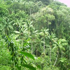
The higher elevation here creates special growing conditions for crops that normally thrive in cooler climates, which sets the local farming apart. This makes agriculture here quite different from what you would expect for this part of Brazil.
The community of curious travelers
AroundUs brings together thousands of curated places, local tips, and hidden gems, enriched daily by 60,000 contributors worldwide.