
São Francisco do Guaporé, municipality of Brazil
Location: Rondônia
Elevation above the sea: 146 m
Shares border with: Costa Marques, Alta Floresta d'Oeste, São Miguel do Guaporé, Seringueiras
GPS coordinates: -12.05222,-63.56750
Latest update: May 15, 2025 16:29

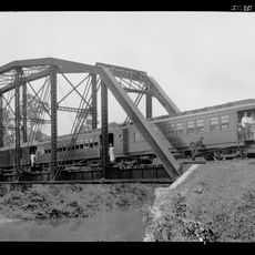
Madeira-Mamoré Railroad
367.4 km
Fort Prince of Beira
102 km
Noel Kempff Mercado National Park
381.8 km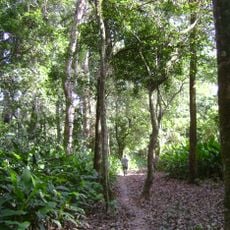
Isiboro Sécure National Park and Indigenous Territory
505.3 km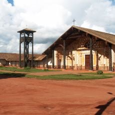
Jesuit Missions of Chiquitos
483.8 km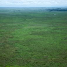
Beni Biological Station Biosphere Reserve
463.1 km
Pacaás Novos National Park
100.4 km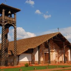
Immaculate Conception Cathedral, Concepción
484.2 km
Catarata Arco Iris
343.4 km
Serra Ricardo Franco State Park
454.5 km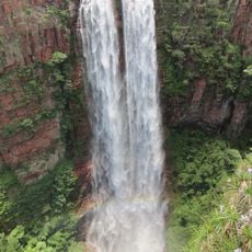
Cachoeira do Jatobá
494.7 km
Ríos Blanco y Negro Wildlife Reserve
321.8 km
Municipal Protected Area Pampas of the Yacuma River
400.1 km
Casarabe culture
328.9 km
Bajo Paraguá Municipal Protected Area
340.8 km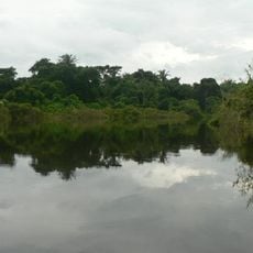
Ibare-Mamoré
352.4 km
Rio Cautário Federal Extractive Reserve
73.4 km
Aquariquara Extractive Reserve
303.7 km
Association of Machadinho Rubber Tappers
339.1 km
Federico Ahlfeld Falls
339 km
Rio Cautário State Extractive Reserve
78.8 km
Rio Ouro Preto Extractive Reserve
189.6 km
Isla Cumprida
178.5 km
Madeira-Mamoré Railroad, rail yard
367.7 km
Castanheira do Estádio Aluízio Pinheiro Ferreira
368.6 km
Capela de Santo Antônio de Pádua
363.5 km
Três Caixas d'Água
368.1 km
José Ballivián
341.9 kmReviews
Visited this place? Tap the stars to rate it and share your experience / photos with the community! Try now! You can cancel it anytime.
Discover hidden gems everywhere you go!
From secret cafés to breathtaking viewpoints, skip the crowded tourist spots and find places that match your style. Our app makes it easy with voice search, smart filtering, route optimization, and insider tips from travelers worldwide. Download now for the complete mobile experience.

A unique approach to discovering new places❞
— Le Figaro
All the places worth exploring❞
— France Info
A tailor-made excursion in just a few clicks❞
— 20 Minutes