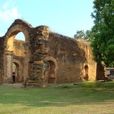
Palmeirópolis, Municipality in Tocantins, Brazil.
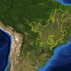
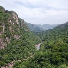
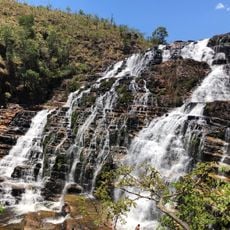
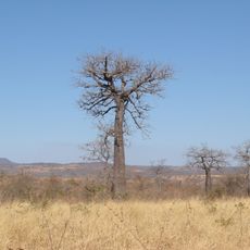
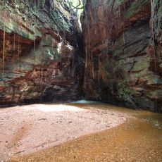
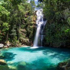
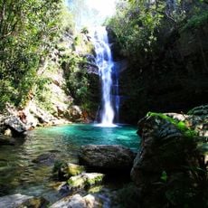
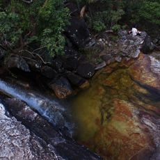
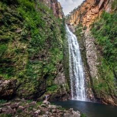
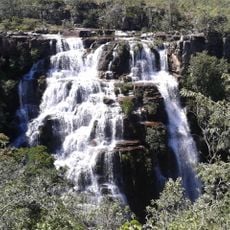
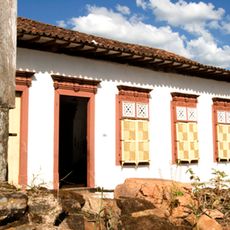
Palmeirópolis is a municipality in Tocantins state in northern Brazil's interior, situated at approximately 438 meters elevation. The settlement combines urban infrastructure with surrounding agricultural lands that define much of the local landscape.
The municipality was established as an administrative unit following Tocantins state's separation from Goiás in 1988. This creation was part of the territorial reorganization that accompanied the formation of the new state.
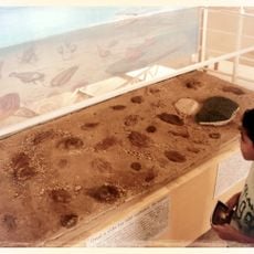
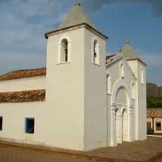
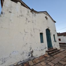
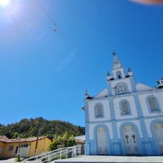
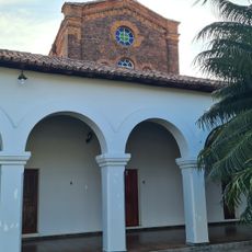
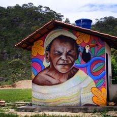
The municipality preserves traditional Brazilian festivals throughout the year, integrating local music performances, regional gastronomy, and community celebrations.
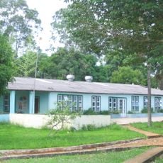
The town operates in the UTC-3 time zone and uses Brazilian Real currency for transactions. Basic services cluster around the central administrative area where visitors can find essential facilities.
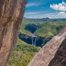
The geographical position at 13°04′S 48°22′W places this municipality at a strategic point within the Mesoregion of Ocidental do Tocantins.
Location: Tocantins
Elevation above the sea: 438 m
Shares border with: Jaú do Tocantins, Minaçu, Paranã, São Salvador do Tocantins
GPS coordinates: -13.04389,-48.40194
Latest update: December 8, 2025 13:42
Cerrado
132.3 km
Chapada dos Veadeiros National Park
140.4 km
Terra Ronca State Park
227.5 km
Itiquira Falls
278.2 km
Bona Espero
148 km
Araguaia State Park
272.7 km
Memorial Serra da Mesa
179.8 km
Cataratas dos Couros
154.1 km
Reserva Extrativista do Recanto das Araras de Terra Ronca
234.7 km
Canion Encantado
247.2 km
Cânion do Sussuapara
285.9 km
Igreja Matriz de Nossa Senhora da Natividade
165.8 km
Cachoeira Santa Bárbara
112.9 km
Igreja de São Benedito
166 km
Ruínas da Igreja de Nossa Senhora do Rosário dos Pretos
165.7 km
Cachoeira de Santa Bárbara
112.9 km
Catedral Nossa Senhora das Mercês
260.1 km
Igreja Matriz
159.4 km
Cachoeira das Sete Quedas
136.4 km
Cachoeira do Abismo
140 km
Cachoeira do Segredo
147.9 km
Cachoeira do Córrego Almécegas II
153.7 km
Seminário São José
260.1 km
Historical center of Natividade
149.7 km
Quilombo Kalunga
133 km
Casa com Janelas de Rótulas e Forro Pintado, na Rua da Cadeia
229.6 km
Mirante da Janela
139.1 km
Pedra Furada
265.3 kmVisited this place? Tap the stars to rate it and share your experience / photos with the community! Try now! You can cancel it anytime.
Discover hidden gems everywhere you go!
From secret cafés to breathtaking viewpoints, skip the crowded tourist spots and find places that match your style. Our app makes it easy with voice search, smart filtering, route optimization, and insider tips from travelers worldwide. Download now for the complete mobile experience.
A unique approach to discovering new places❞
— Le Figaro
All the places worth exploring❞
— France Info
A tailor-made excursion in just a few clicks❞
— 20 Minutes