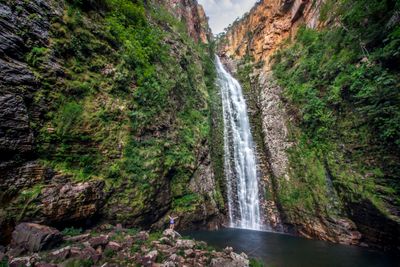
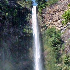
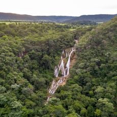
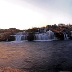
Cachoeira do Segredo, Waterfall in Chapada dos Veadeiros National Park, Brazil.
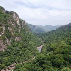
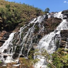
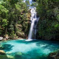
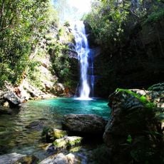
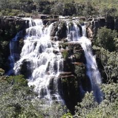
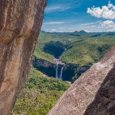
Cachoeira do Segredo is a waterfall in Chapada dos Veadeiros National Park that drops over rocky cliffs and forms a large natural pool surrounded by dense vegetation. The site combines steep rock faces with lush growth and stone formations into a unified landscape.
Gold miners in the region kept this location secret during the colonial period to prevent the area from being exploited. This practice of secrecy shaped the site's isolation and protection over time.
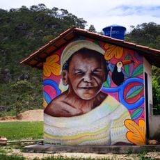
Local guides share knowledge about native plants and wildlife as visitors move through the landscape, connecting people to the living environment around them. This practice remains an important part of how the place is experienced today.
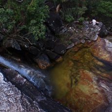
The route requires multiple river crossings and sure footing on uneven terrain. It's best to start early and bring plenty of water and proper hiking footwear.
The name "Segredo" means "secret" and refers to the site's past as a hidden retreat. The pool water stays cold year-round, creating unexpected swimming conditions that catch many visitors off guard.
The community of curious travelers
AroundUs brings together thousands of curated places, local tips, and hidden gems, enriched daily by 60,000 contributors worldwide.