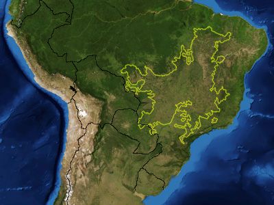
Cerrado, UNESCO World Heritage savanna in central Brazil.
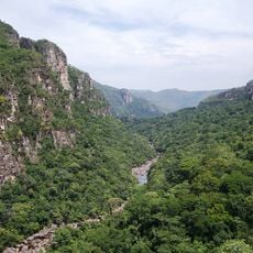
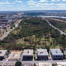
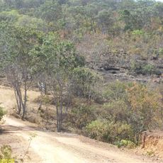
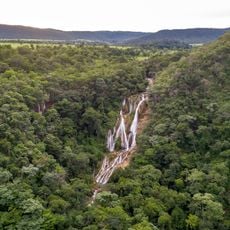
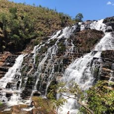
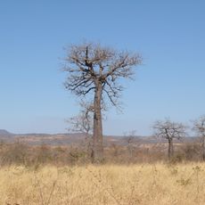
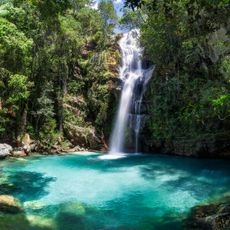
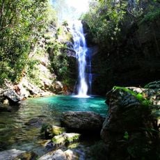
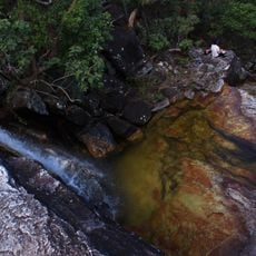
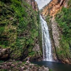
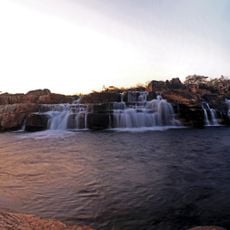
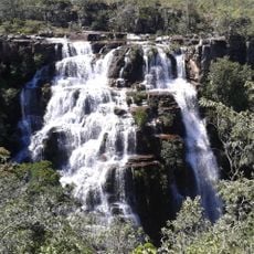
The Cerrado extends across eight Brazilian states and includes grasslands, dry forests, wetlands, and river courses that supply water to large parts of South America. The terrain varies between open areas with scattered trees, denser forest sections, and marshy lowlands that change noticeably with the seasons.
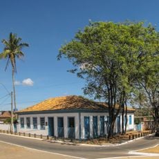
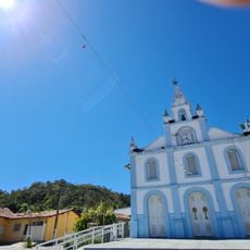
Until the twentieth century, this region remained largely unchanged, with only scattered settlements and small farms dotting the landscape. Large-scale agricultural projects began transforming it from the sixties onward, replacing natural vegetation with cropland and pasture across wide areas.
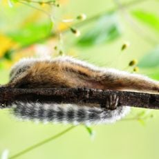
Local communities gather fruits like pequi and baru from the region, using them in traditional dishes and herbal remedies that have been passed down through generations. These food practices remain central to daily life in villages and small towns near the savanna, where markets often sell baskets of these native ingredients.
The dry season from May to September makes travel easier, with better road conditions and animals gathering near remaining water sources. Temperatures stay mild all year, though mornings and evenings can be cooler during the drier months, so bring layers for early starts.
Many trees and shrubs here have root systems that reach several meters underground, allowing them to access water even during long dry periods. This underground network makes the vegetation more resilient to fire and drought than it appears at first glance.
The community of curious travelers
AroundUs brings together thousands of curated places, local tips, and hidden gems, enriched daily by 60,000 contributors worldwide.