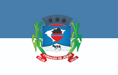
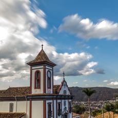
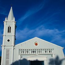
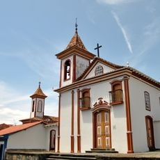
Coração de Jesus, Municipality in northern Minas Gerais, Brazil
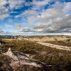
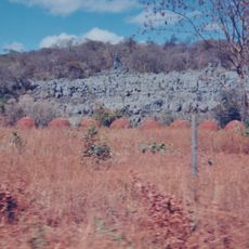
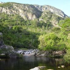
Coração de Jesus is a municipality in northern Minas Gerais that spreads across rural farmland and cattle ranches. The area sits at roughly 700 meters in elevation and is shaped mainly by agriculture and livestock raising.
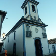
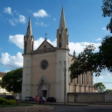
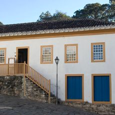
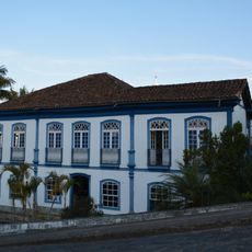
A Portuguese landowner established the original settlement in 1774 as Arraial do Sagrado Coração de Jesus. The village grew from this religious-minded founding and later became an important farming area.
Daily life revolves around farming traditions that show up in local festivals and community gatherings. People come together regularly to celebrate their connection to livestock raising and rural living.
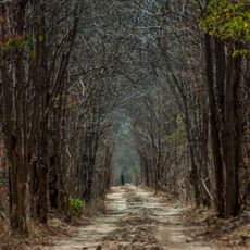
The area connects through the BR-365 highway, roughly 22 kilometers away, linking it to larger cities like Montes Claros. Visitors should expect rural roads and country lanes since this is mainly an agricultural area.
The area supports a substantial cattle population and serves as a central point for livestock management in this region. This economic feature shapes daily life and the landscape of the place.
The community of curious travelers
AroundUs brings together thousands of curated places, local tips, and hidden gems, enriched daily by 60,000 contributors worldwide.