Formoso do Araguaia, Administrative division in Tocantins, Brazil.
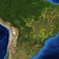
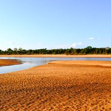
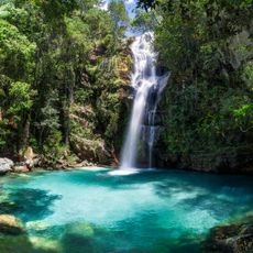
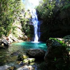
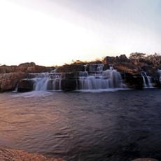
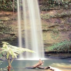
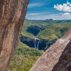
Formoso do Araguaia is an administrative municipality in Tocantins state that covers a very large area. The region is crossed by several rivers and has a low population distributed across its entire territory.
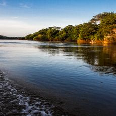
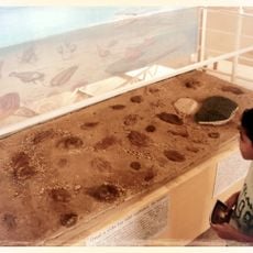
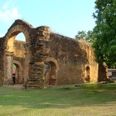
The region was originally explored by Portuguese expeditions searching for valuable resources in the area. The name of the main river still reflects this early period of exploration.
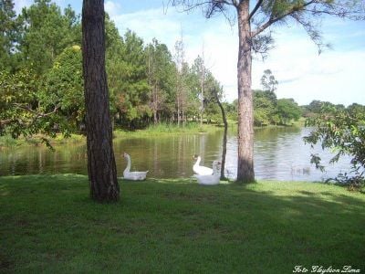
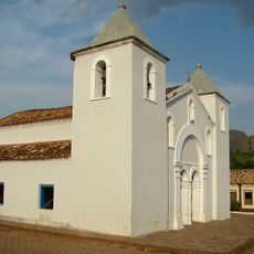
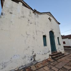
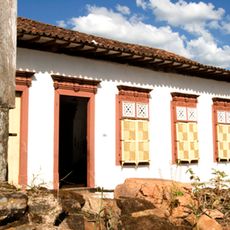
People with different backgrounds have settled along the riverbanks and built their own communities over time. The way they use the space shows their close connection to the water and the land around them.
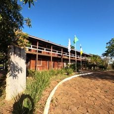
The best time to visit is during the dry season when roads are easier to travel and river activities are more accessible. Most supplies and services are located in the larger settlements along the rivers.
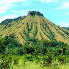
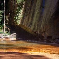
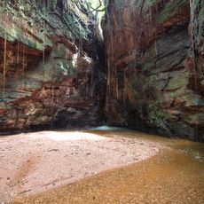
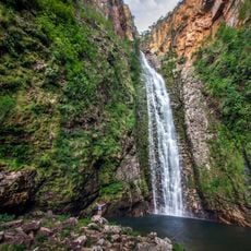
The area spreads across a vast landscape with very few people per square kilometer, making it one of the most sparsely populated places in the region. This vastness means large parts of nature remain untouched and wild.
GPS coordinates: -11.80600,-49.52572
Latest update: December 7, 2025 20:48
Cerrado
316 km
Cantão State Park
242.9 km
Araguaia Palace
222.6 km
Araguaia National Park
158.1 km
Museu Histórico do Tocantins
224.9 km
Lajeado State Park
235.7 km
Cathedral of the Divine Holy Spirit in Palmas
222.5 km
Araguaia State Park
152.4 km
Ilha do Bananal / Cantão Environmental Protection Area
239.4 km
Memorial Serra da Mesa
307.8 km
Canion Encantado
261.4 km
Cânion do Sussuapara
260.9 km
Igreja Matriz de Nossa Senhora da Natividade
196.7 km
Cachoeira Santa Bárbara
293.2 km
Igreja de São Benedito
196.5 km
Ruínas da Igreja de Nossa Senhora do Rosário dos Pretos
196.6 km
Cachoeira de Santa Bárbara
293.2 km
Catedral Nossa Senhora das Mercês
172 km
Seminário São José
172.1 km
Cachoeira do Abismo
320.8 km
Cachoeira do Segredo
328.2 km
Cachoeira das Sete Quedas
319.2 km
Historical center of Natividade
208.6 km
Casa com Janelas de Rótulas e Forro Pintado, na Rua da Cadeia
329 km
Quilombo Kalunga
315.9 km
Cachoeira do Edilson
232.8 km
Mirante da Janela
320 km
Pedra Furada
255.4 kmVisited this place? Tap the stars to rate it and share your experience / photos with the community! Try now! You can cancel it anytime.
Discover hidden gems everywhere you go!
From secret cafés to breathtaking viewpoints, skip the crowded tourist spots and find places that match your style. Our app makes it easy with voice search, smart filtering, route optimization, and insider tips from travelers worldwide. Download now for the complete mobile experience.
A unique approach to discovering new places❞
— Le Figaro
All the places worth exploring❞
— France Info
A tailor-made excursion in just a few clicks❞
— 20 Minutes