Enable Location

We need your location to show you interesting places around you

Discover nearby places

Find interesting locations and hidden gems around you

Precise directions

Get accurate directions and distances to places

Your location is never shared with other users. It's only used when you tap the location button.

Natividade

Log in to your account

Start exploring — it's free

Trusted by 62,004 travelers worldwide

Continue with Google
Continue with Apple
or

We will send you a code to connect

By continuing, you accept our Terms and Conditions and our Privacy Policy

Check your inbox

We've sent a pincode in your inbox. Please enter the code below.

Natividade, Historical municipality in Tocantins, Brazil

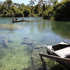
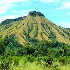
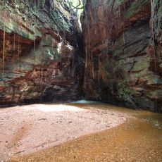
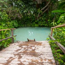
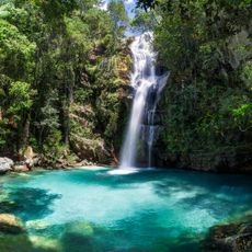
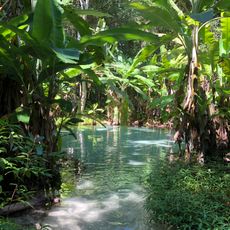
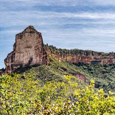
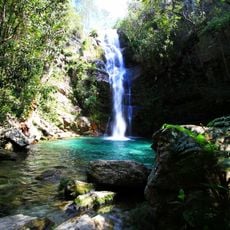
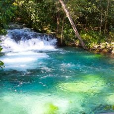
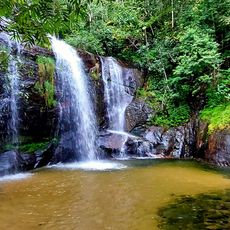
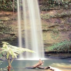
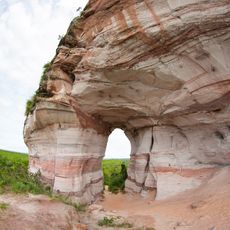
Natividade is a municipality in Tocantins, located in the northern part of Brazil and surrounded by cerrado landscape. The terrain consists of rolling hills covered with tropical grassland and scattered trees typical of this biome.

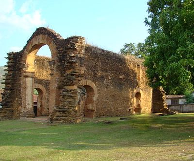
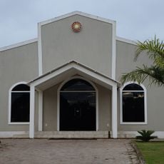
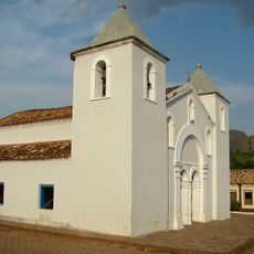
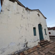
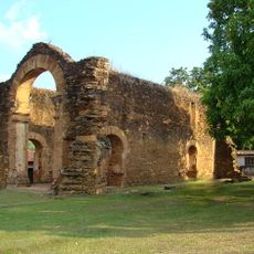
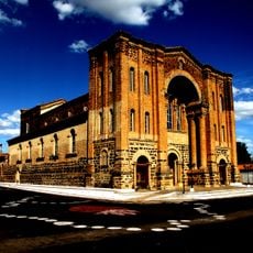
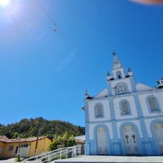
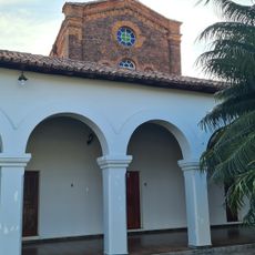
The area was settled during the early colonial period, as evidenced by the ruins of Igreja de Nossa Senhora dos Pretos. This religious site marks an important point in the region's settlement history, long before Tocantins state was established in 1988.

Local inhabitants celebrate traditional festivals throughout the year, maintaining customs that reflect the heritage of Brazil's northern settlements.

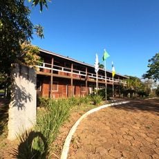
Access to this location is by regional roads that connect it with other parts of the state. Visitors will find basic accommodation and services, so it is best to plan accordingly for simple local infrastructure.

The territory experiences marked seasons with distinct dry and wet periods that shape the vegetation and human activities. These climate variations influence the rhythm of daily life and transform how the landscape appears throughout the year.

The community of curious travelers

AroundUs brings together thousands of curated places, local tips, and hidden gems, enriched daily by 60,000 contributors worldwide.

Start exploring
Location
Elevation above the sea
335 m
Shares border with
Almas, Chapada da Natividade, Conceição do Tocantins, Paranã, Pindorama do Tocantins, São Valério
GPS coordinates
-11.71000,-47.72278
Latest update
December 8, 2025 13:44
« Natividade - Historical municipality in Tocantins, Brazil » is provided by Around Us (aroundus.com). Images and texts are derived from Wikimedia project under a Creative Commons license. You are allowed to copy, distribute, and modify copies of this page, under the conditions set by the license, as long as this note is clearly visible.

Discover hidden gems everywhere you go!

From secret cafés to breathtaking viewpoints, skip the crowded tourist spots and find places that match your style. Our app makes it easy with voice search, smart filtering, route optimization, and insider tips from travelers worldwide. Download now for the complete mobile experience.

Around Us App Screenshot

A unique approach to discovering new places

Le Figaro

All the places worth exploring

France Info

A tailor-made excursion in just a few clicks

20 Minutes

Around Us
Travel Guide & Maps
Download

Send to your phone

QR Code
1

Open the camera app on your mobile.

2

Point at the QR code with your camera. A notification will appear.

3

Tap the notification to open the link.