
Sebastião Barros, human settlement in Brazil
Location: Piauí
Elevation above the sea: 500 m
Shares border with: Santa Rita de Cássia, Corrente, Cristalândia do Piauí, Parnaguá
GPS coordinates: -10.81694,-44.83389
Latest update: March 12, 2025 02:46

Serra da Capivara National Park
346.5 km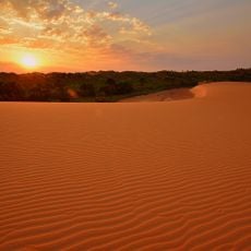
Jalapão
254.3 km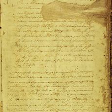
Manuscript 512
266 km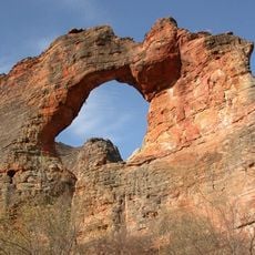
Pedra Furada
333.7 km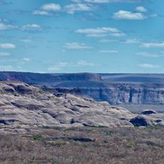
Serra das Confusões National Park
241.7 km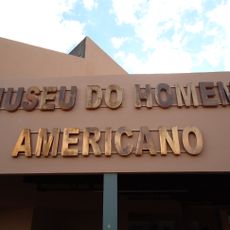
Museu do Homem Americano
306.8 km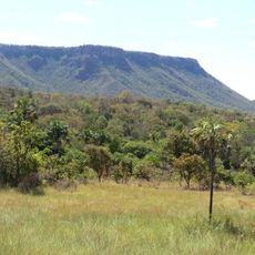
Nascentes do Rio Parnaíba National Park
190.5 km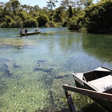
Serra Geral do Tocantins Ecological Station
195.5 km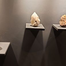
Museum of American Man
306.8 km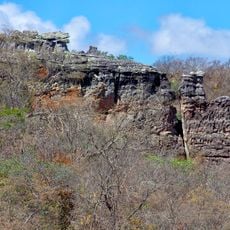
Capivara-Confusões Ecological Corridor
322.2 km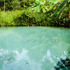
Fervedouro dos Buritis
189.4 km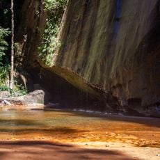
Canion Encantado
264 km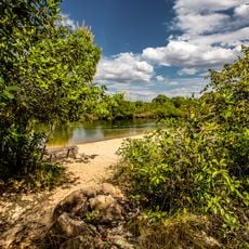
Prainha do Rio Novo
207.3 km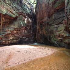
Cânion do Sussuapara
286.2 km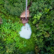
Fervedouro Bela Vista
209.8 km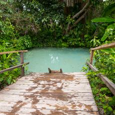
Fervedouro do Soninho
190.5 km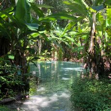
Fervedouro do Ceiça
191.4 km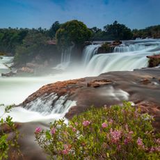
Cachoeira da Velha
232.7 km
Sítio Pedra Furada
279.1 km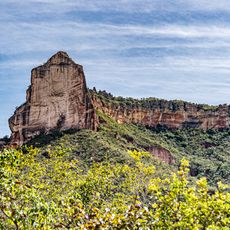
Serra da Catedral do Jalapão
237.7 km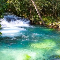
Cachoeira do Formiga
187.1 km
Quilombo Igarité
185.6 km
Historical center of Natividade
328.3 km
Cathedral of St John the Baptist in Barreiras
149.3 km
Praia do Rio Novo
232.8 km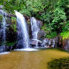
Cachoeira do Lajeado
268.6 km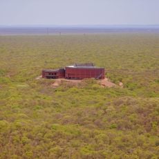
Museu da Natureza
334.8 km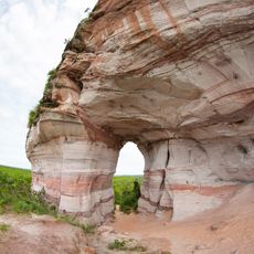
Pedra Furada
279.1 kmReviews
Visited this place? Tap the stars to rate it and share your experience / photos with the community! Try now! You can cancel it anytime.
Discover hidden gems everywhere you go!
From secret cafés to breathtaking viewpoints, skip the crowded tourist spots and find places that match your style. Our app makes it easy with voice search, smart filtering, route optimization, and insider tips from travelers worldwide. Download now for the complete mobile experience.

A unique approach to discovering new places❞
— Le Figaro
All the places worth exploring❞
— France Info
A tailor-made excursion in just a few clicks❞
— 20 Minutes