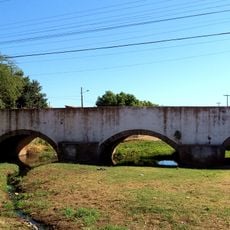
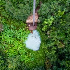
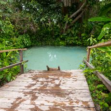
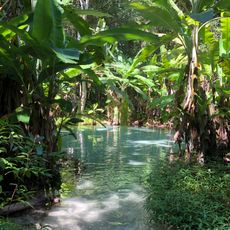
Serra das Confusões National Park, National park in Piauí, Brazil
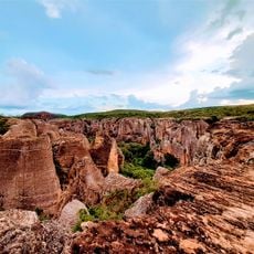
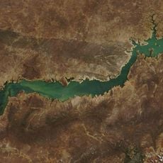
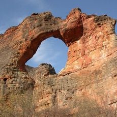
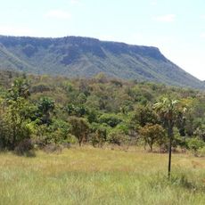
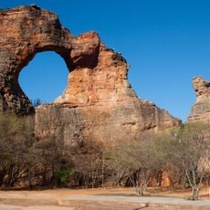
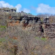
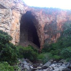
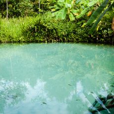
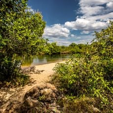
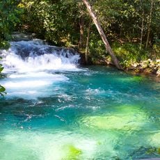
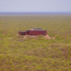
Serra das Confusões National Park covers 823,843 hectares of sandstone plateaus and depressions in the Parnaíba basin, with altitudes from 350 to 660 metres. Its name comes from the serra's shifting appearance under different daylight. The intermittent Itaueira River rises within the park, and lower rocky outcrops hold small caves and springs.
The park was created by federal decree on 2 October 1998 with an area of 502,411 hectares. A second decree of 30 December 2010 enlarged it to the present 823,436 hectares. In 2006 the Capivara-Confusões Ecological Corridor linked it to Serra da Capivara National Park. It is administered by the Chico Mendes Institute for Biodiversity Conservation.
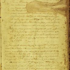
The name Serra das Confusões comes from the way the rock formations change appearance with the day's lighting. The park's caves and rock walls hold lithogravures of historical, scientific and cultural value. Tupinambá Indians lived in the surrounding valley until Portuguese colonization and São Paulo bandeirantes enslaved or expelled them and established farms; small family groups of Indians still existed there until the mid-1950s, according to Caracol resident Antonio da Rocha Soares.
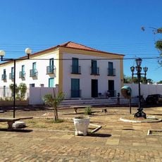
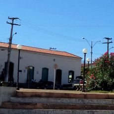
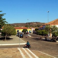
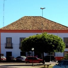
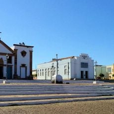
Visiting requires permission from administrative offices in Caracol or Guaribas before entering. The nearest towns offer lodging options, as the park itself has no accommodation facilities.
The park connects to Serra da Capivara National Park through an ecological corridor created in 2006 that allows wildlife to move between the two protected areas. This connection forms a vital pathway for animals across the region.
The community of curious travelers
AroundUs brings together thousands of curated places, local tips, and hidden gems, enriched daily by 93,850 contributors worldwide.