Corrente, Municipality in Piauí, Brazil
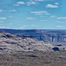
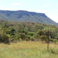
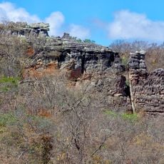
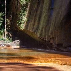
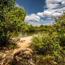
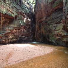
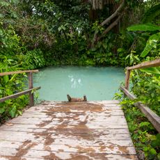
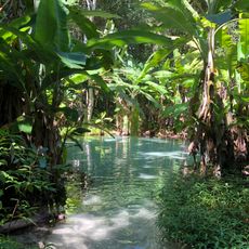
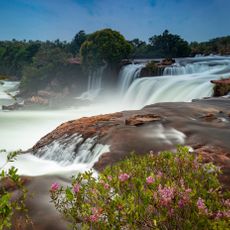
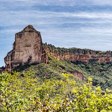
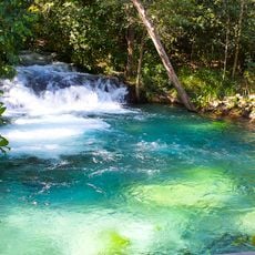
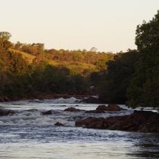
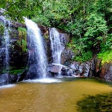
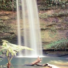
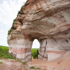
Corrente is a municipality in Piauí state located at 465 meters elevation in a region with rolling terrain and savanna vegetation. The town sits within the broader landscape of northeastern Brazil's inland areas.
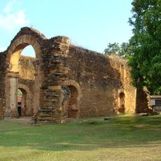
The municipality was established as part of Brazil's administrative organization of the Piauí region during the territorial expansion period. This founding reflects the broader pattern of how the state divided its lands to create local governance structures.
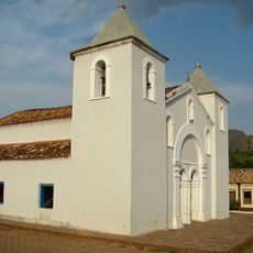
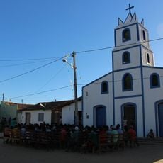
Local festivals bring together traditional Brazilian customs mixed with regional practices specific to Piauí state. These celebrations shape how residents connect with their community and express their local identity.
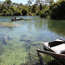
The town is accessible by regional road connections maintained by local administration. Visitors will find schools, healthcare centers, and other public facilities that serve community needs throughout the area.
The elevation of 465 meters creates distinct climate patterns that differ from lower-lying areas of Piauí. This geographic feature quietly shapes local agriculture and how residents experience weather throughout the year.
Location: Piauí
Elevation above the sea: 465 m
Shares border with: Riacho Frio, Cristalândia do Piauí, Formosa do Rio Preto, Parnaguá, São Gonçalo do Gurguéia, Sebastião Barros
Website: http://corrente.pi.gov.br
GPS coordinates: -10.44278,-45.16194
Latest update: December 7, 2025 10:07
Jalapão
212 km
Manuscript 512
313.8 km
Serra das Confusões National Park
234.4 km
Museu do Homem Americano
312.3 km
Nascentes do Rio Parnaíba National Park
138.7 km
Serra Geral do Tocantins Ecological Station
167.8 km
Museum of American Man
312.3 km
Capivara-Confusões Ecological Corridor
318.8 km
Fervedouro dos Buritis
148.3 km
Canion Encantado
238.9 km
Prainha do Rio Novo
165.8 km
Cânion do Sussuapara
251 km
Fervedouro do Soninho
149.3 km
Igreja Matriz de Nossa Senhora da Natividade
313.4 km
Fervedouro Bela Vista
164.5 km
Igreja de São Benedito
313.4 km
Fervedouro do Ceiça
149.3 km
Cachoeira da Velha
189.6 km
Ruínas da Igreja de Nossa Senhora do Rosário dos Pretos
313.5 km
Serra da Catedral do Jalapão
192.6 km
Cachoeira do Formiga
143.9 km
Quilombo Igarité
231.1 km
Historical center of Natividade
315.5 km
Cathedral of St John the Baptist in Barreiras
190.7 km
Praia do Rio Novo
189.7 km
Cachoeira do Lajeado
233.4 km
Cachoeira do Edilson
325.1 km
Pedra Furada
248.1 kmVisited this place? Tap the stars to rate it and share your experience / photos with the community! Try now! You can cancel it anytime.
Discover hidden gems everywhere you go!
From secret cafés to breathtaking viewpoints, skip the crowded tourist spots and find places that match your style. Our app makes it easy with voice search, smart filtering, route optimization, and insider tips from travelers worldwide. Download now for the complete mobile experience.
A unique approach to discovering new places❞
— Le Figaro
All the places worth exploring❞
— France Info
A tailor-made excursion in just a few clicks❞
— 20 Minutes