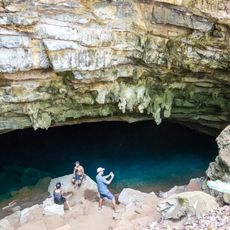
Sento Sé, Administrative division in the state of Bahia, Brazil.
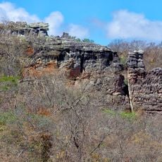
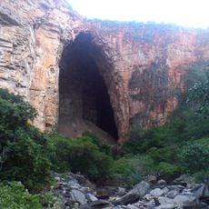
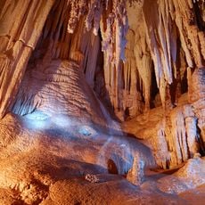
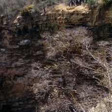
Sento Sé is an administrative division in northeastern Brazil that covers a large territory with a small population spread across the land. The town provides the essential services and infrastructure needed for its residents.
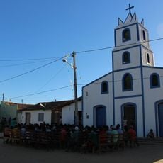
The area was established in 1832 by provincial decree as a settlement center in this northeastern region. In the 1970s, it underwent a complete relocation when the Sobradinho Dam was built.
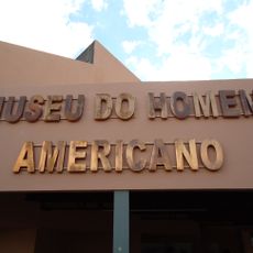
The name Sento Sé comes from the indigenous Centoce people and shows the deep bond between native groups and Portuguese settlers in this area. This heritage remains visible in how locals speak of their home and its connections to the past.
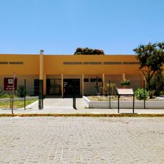
The nearest major city with broader connections lies several hundred kilometers away, so plan your travel arrangements in advance. Local services and shops are concentrated in the town center and easy to access.
The entire original settlement was relocated in the 1970s to higher ground, making this one of the few places in Brazil where a town completely moved to a new location. This drastic action became necessary because the dam would have flooded the original valley.
GPS coordinates: -9.74064,-41.88301
Latest update: December 7, 2025 20:25
Serra da Capivara National Park
140.2 km
Sobradinho Reservoir
42.3 km
Pedra Furada
125 km
Ponte Presidente Dutra
155.9 km
Serra das Confusões National Park
201.2 km
Museu do Homem Americano
119.4 km
Toca da Tira Peia
115.9 km
Museu do Sertão
156.8 km
Cachoeira Véu de Noiva
232.9 km
Lapa Doce
289 km
Parish Church of Santo Antonio of Jacobina
220 km
Monumento Natural Cachoeira do Ferro Doido
231 km
Sete Passagens State Park
236.2 km
Hotel e Parque Aquático Fiesta Park
218.4 km
Morro do Chapéu State Park
194.1 km
Senhora Sant'Ana Parish
280.8 km
Instituto Ponte Nova
294.3 km
Museum of American Man
119.5 km
Gruta da Pratinha
293.2 km
Igreja de Nossa Senhora da Conceição (Jacobina)
219.7 km
Fundação Museu Regional Do São Francisco
155.6 km
Morrão
219 km
Capivara-Confusões Ecological Corridor
169.6 km
Lapa dos Brejões
149.8 km
Gruta da Fumaça
290.1 km
Buraco do Possidônio
222.5 km
Gruta Azul (Iraquara)
292.8 km
Quilombo Igarité
207.8 kmVisited this place? Tap the stars to rate it and share your experience / photos with the community! Try now! You can cancel it anytime.
Discover hidden gems everywhere you go!
From secret cafés to breathtaking viewpoints, skip the crowded tourist spots and find places that match your style. Our app makes it easy with voice search, smart filtering, route optimization, and insider tips from travelers worldwide. Download now for the complete mobile experience.
A unique approach to discovering new places❞
— Le Figaro
All the places worth exploring❞
— France Info
A tailor-made excursion in just a few clicks❞
— 20 Minutes