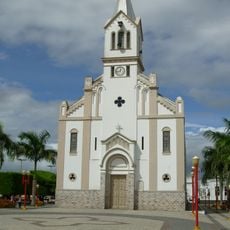
Jeremoabo, Administrative division in Bahia, Brazil.
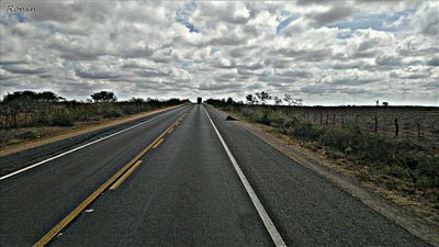
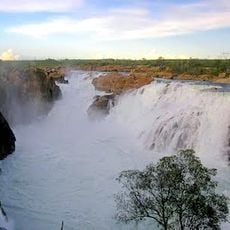
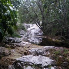
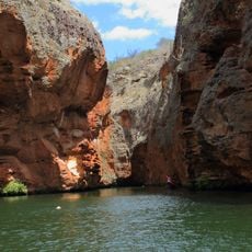
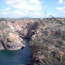
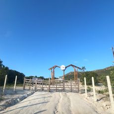
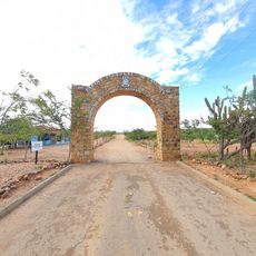
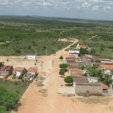
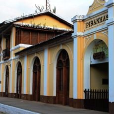
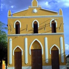
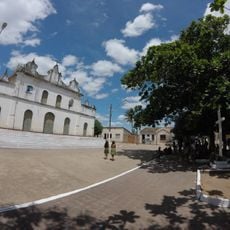
Jeremoabo is a municipality in northeastern Bahia that covers a large area of land with varied terrain. The town sits in a region characterized by dry vegetation and open landscapes typical of the sertão region.
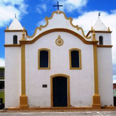
The municipality began as a settlement in the early 1600s and received its official status as an administrative unit in 1925. This development reflects the gradual formalization of inland communities in Bahia.
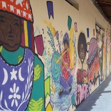
The population maintains traditional festivals that showcase regional music, dance performances, and the culinary heritage of northeastern Brazil throughout the year.
The town connects to neighboring areas via regional roads and sits roughly 300 kilometers inland from the coast. Visitors should know that the region becomes very hot during the dry season and receives minimal rainfall.
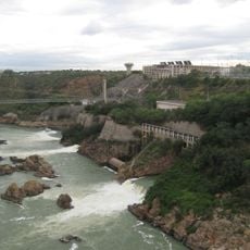
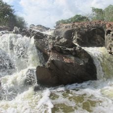
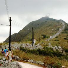
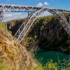
The territory contains three major protected areas: the Cocorobó Area, Raso da Catarina Ecological Station, and Serra Branca Protection Area. These reserves safeguard the unique vegetation of the sertão and provide habitat for specialized species.
Location: Bahia
Elevation above the sea: 374 m
Shares border with: Sítio do Quinto, Canudos, Coronel João Sá, Macururé, Novo Triunfo, Paulo Afonso, Pedro Alexandre, Rodelas, Santa Brígida
Website: http://jeremoabo.ba.gov.br
GPS coordinates: -10.06694,-38.35000
Latest update: December 7, 2025 10:06
Paulo Afonso Hydroelectric Complex
76.3 km
Bendegó meteorite
100 km
Paulo Afonso Falls
77.3 km
Serra de Itabaiana National Park
135.2 km
Rio São Francisco Natural Monument
72.3 km
Canyon of Xingo
72.6 km
Usina Hidrelétrica de Angiquinho
77.1 km
Parque dos Falcões
130.7 km
Canudos State Park
83 km
Igreja de Nossa Senhora do Rosário
164.9 km
Bela Vista
150.4 km
Cachoeira do Inferno
133.3 km
Museu do Sertão
81.8 km
Senhora Sant'Ana Parish
142.5 km
Conjunto Arquitetônico, Urbanístico, Natural e Paisagístico da Serra do Monte Santo
115.6 km
Serra Branca / Raso da Catarina Environmental Protection Area
28 km
Igreja Santo Antônio de Pádua
142.2 km
Resina
154.8 km
Igreja Matriz do Senhor da Ascensão
72.6 km
Igreja de Nossa Senhora da Conceição do Raso de Araci
156.6 km
Centro Cultural de Araci
156.8 km
Cine Laser Itabaiana
124.6 km
Mother Church of Nossa Senhora da Boa Hora and São Roque (Campo do Brito/SE)
120.6 km
Museum of the City of Araci
156.8 km
Old Petrolandia Church
116.8 km
Igreja Matriz de Senhora Santana
95.4 km
Ponte Metálica Dom Pedro II
73.9 km
Praça da Cultura e Juventude
156.7 kmVisited this place? Tap the stars to rate it and share your experience / photos with the community! Try now! You can cancel it anytime.
Discover hidden gems everywhere you go!
From secret cafés to breathtaking viewpoints, skip the crowded tourist spots and find places that match your style. Our app makes it easy with voice search, smart filtering, route optimization, and insider tips from travelers worldwide. Download now for the complete mobile experience.
A unique approach to discovering new places❞
— Le Figaro
All the places worth exploring❞
— France Info
A tailor-made excursion in just a few clicks❞
— 20 Minutes