Uauá, Municipality in northeastern Bahia, Brazil
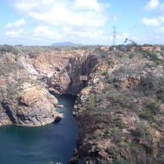
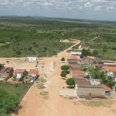
Uauá is a municipality in northeastern Bahia situated in a hilly region with varying elevations. The area stretches across land with different landscapes where residents are dispersed across various settlements.
The settlement began in the 18th century when someone established a farm along a local river. This early founding shaped how the place developed over the following centuries.
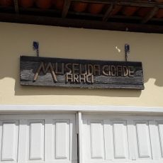
The name Uauá comes from an indigenous language and reflects the original inhabitants of this region. The place carries traces of these roots in how locals understand their identity and heritage.
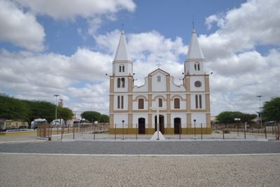
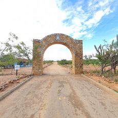
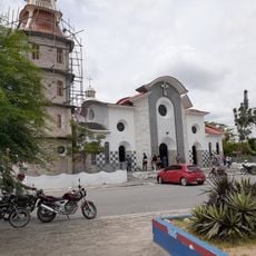
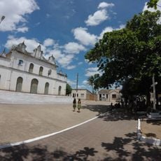
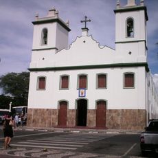
The main square is where administration services are located and visitors can obtain information about the area. It is helpful to visit this central point or contact the local offices when seeking guidance or assistance.
The local economy relies heavily on goat herding, which forms a significant portion of income for many residents. This activity shapes much of what happens in the area and its character.
Location: Bahia
Elevation above the sea: 462 m
Shares border with: Monte Santo, Andorinha, Canudos, Chorrochó, Curaçá, Jaguarari
Website: http://uaua.ba.gov.br/
GPS coordinates: -9.84194,-39.48194
Latest update: December 7, 2025 19:25
Paulo Afonso Hydroelectric Complex
148.9 km
Bendegó meteorite
39 km
Ponte Presidente Dutra
122.3 km
Paulo Afonso Falls
149.9 km
Rio São Francisco Natural Monument
166.3 km
Canyon of Xingo
169 km
Usina Hidrelétrica de Angiquinho
149.9 km
Museu do Sertão
122.2 km
Canudos State Park
43.7 km
Igreja de Nossa Senhora do Rosário
170.7 km
Parish Church of Santo Antonio of Jacobina
186.9 km
Bela Vista
162.2 km
Cachoeira do Inferno
140.2 km
Museu do Sertão
191.1 km
Senhora Sant'Ana Parish
92 km
Igreja de Nossa Senhora da Conceição (Jacobina)
187 km
Conjunto Arquitetônico, Urbanístico, Natural e Paisagístico da Serra do Monte Santo
67.5 km
Fundação Museu Regional Do São Francisco
120.6 km
Serra Branca / Raso da Catarina Environmental Protection Area
100.2 km
Resina
168.6 km
Igreja Matriz do Senhor da Ascensão
130 km
Igreja de Nossa Senhora da Conceição do Raso de Araci
175.7 km
Centro Cultural de Araci
175.9 km
Museum of the City of Araci
175.9 km
Cathedral of Our Lord of the Good End, Senhor do Bonfim
103.4 km
Old Petrolandia Church
161.9 km
Ponte Metálica Dom Pedro II
148.5 km
Praça da Cultura e Juventude
175.8 kmVisited this place? Tap the stars to rate it and share your experience / photos with the community! Try now! You can cancel it anytime.
Discover hidden gems everywhere you go!
From secret cafés to breathtaking viewpoints, skip the crowded tourist spots and find places that match your style. Our app makes it easy with voice search, smart filtering, route optimization, and insider tips from travelers worldwide. Download now for the complete mobile experience.
A unique approach to discovering new places❞
— Le Figaro
All the places worth exploring❞
— France Info
A tailor-made excursion in just a few clicks❞
— 20 Minutes