Lago da Pedra, Municipal center in Maranhão, Brazil
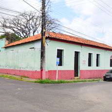
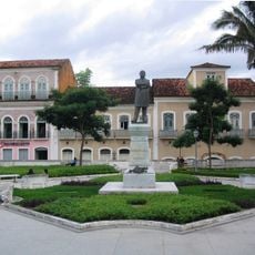
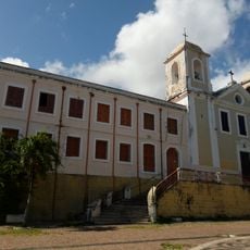
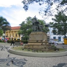
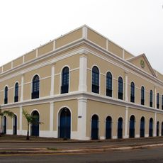
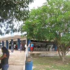
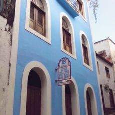
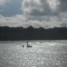
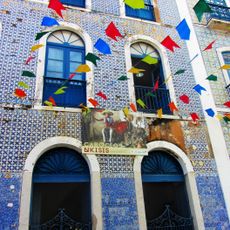
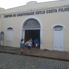
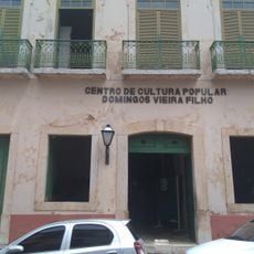
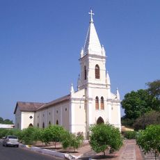
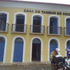
Lago da Pedra is a municipality in Maranhão centered on a natural lake formation surrounded by hills and valleys. The urban core serves as the administrative hub, while the surrounding region is shaped by agricultural activities and rural settlement patterns.
The settlement grew beginning in 1929 when farmers arrived seeking fertile land and established themselves in the area. Official recognition as a municipality came in 1953, establishing formal administrative structures.
The community maintains traditions tied to babassu palm cultivation, shaping daily work and life in ways that connect people to the land.
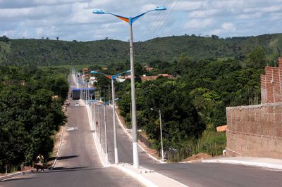
The town is best explored on foot, as streets follow the natural contours of the land with regular elevation changes throughout the area. Wear comfortable footwear and allow time to navigate the varied terrain at your own pace.
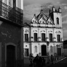
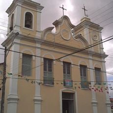
The streets follow the natural elevation changes of the landscape, creating a town layout that differs notably from typical flat urban grids. This unusual topographic arrangement shapes the place's character in ways that become apparent while walking through it.
Location: Maranhão
Elevation above the sea: 60 m
Shares border with: Bom Lugar, Esperantinópolis, Lago do Junco, Lagoa Grande do Maranhão, Marajá do Sena, Paulo Ramos, Poção de Pedras, São Raimundo do Doca Bezerra, São Roberto
Website: http://lagodapedra.ma.gov.br
GPS coordinates: -4.57000,-45.13194
Latest update: December 7, 2025 19:28
Historic Centre of São Luís
245.2 km
Catedral de São Luís
245.2 km
Teatro Arthur Azevedo
245.2 km
Casa das Minas
244.4 km
Government of Maranhão
245.2 km
Convent of Mercy
244.6 km
Museu do Reggae do Maranhão
245 km
Memorial da Balaiada
199.1 km
Praça Benedito Leite
245.1 km
Convento e Igreja de Nossa Senhora do Carmo
245.1 km
Praça João Lisboa
245.1 km
Maranhao's House
245 km
Museu de Arte Sacra
245.1 km
Cujupe
239.4 km
Church of Saint Joseph of the Exile
244.4 km
Bacanga State Park
240 km
Igreja de São Pantaleão
244.7 km
Teatro João do Vale
244.9 km
Gurupi Biological Reserve
200.9 km
Huguenot House of Culture Daniel de La Touché
245.1 km
Baixada Maranhense Environmental Protection Area
195.6 km
Museu Casa de Nhozinho
245 km
Centro Cultural Vale Maranhão
244.7 km
Forte da Vera Cruz do Itapecuru
213.6 km
Centro de Criatividade Odylo Costa Filho
244.9 km
Centro de Cultura Popular Domingos Vieira Filho
244.9 km
St. Therese Cathedral, Bacabal
54.9 km
House of Drum of Crioula do Maranhão
244.8 kmVisited this place? Tap the stars to rate it and share your experience / photos with the community! Try now! You can cancel it anytime.
Discover hidden gems everywhere you go!
From secret cafés to breathtaking viewpoints, skip the crowded tourist spots and find places that match your style. Our app makes it easy with voice search, smart filtering, route optimization, and insider tips from travelers worldwide. Download now for the complete mobile experience.
A unique approach to discovering new places❞
— Le Figaro
All the places worth exploring❞
— France Info
A tailor-made excursion in just a few clicks❞
— 20 Minutes