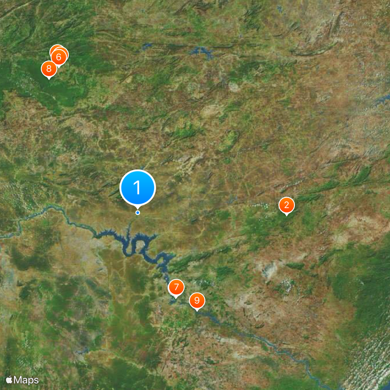
Floresta, Administrative division in Northeastern Brazil.
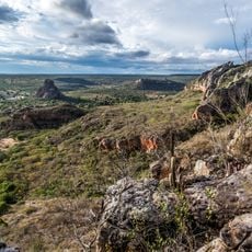
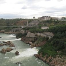
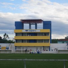
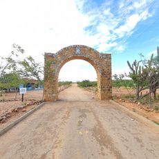
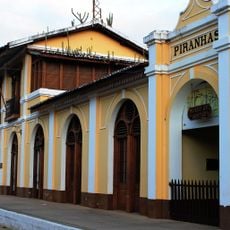
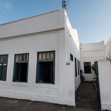
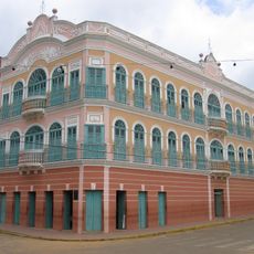
Floresta is a municipality in northeastern Brazil located in Pernambuco state. The town has a defined area with residential neighborhoods, public services including schools and healthcare facilities, and local infrastructure that serves the everyday needs of its residents.
The creation of Floresta as an administrative division represented an important step in Brazil's territorial organization during the country's regional development phase. This arrangement helped improve local administration and public services in the northeastern region.
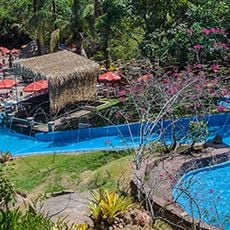
The residents celebrate Brazilian traditions through regular gatherings that feature regional music, dance, and local food. These occasions reveal how community life remains rooted in everyday celebrations and shared customs.
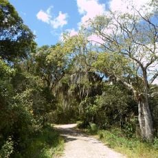
As a municipality, Floresta offers basic public services including schools, healthcare, and infrastructure for residents and visitors. Walking through different neighborhoods or using local transportation will help you get a feel for how the town is organized.
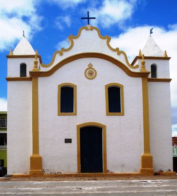
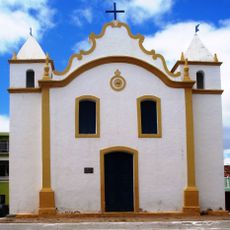
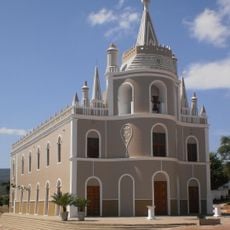
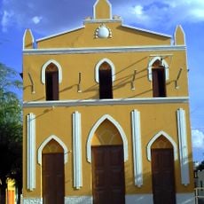
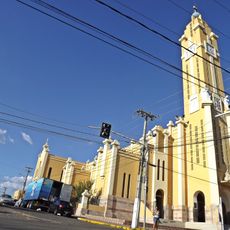
The Igreja de Nossa Senhora do Rosário serves as a central religious structure in the town and showcases the regional heritage of Catholic architecture. This sanctuary draws visitors interested in the religious architecture of northeastern Brazil.
Location: Pernambuco
Elevation above the sea: 357 m
Shares border with: Serra Talhada, Tacaratu, Petrolândia, Belém de São Francisco, Betânia, Carnaubeira da Penha, Custódia, Ibimirim, Inajá, Itacuruba, Mirandiba, Rodelas
Website: http://floresta.pe.gov.br
GPS coordinates: -8.60083,-38.56778
Latest update: December 20, 2025 15:16
Catimbau National Park
156.1 km
Paulo Afonso Hydroelectric Complex
97.3 km
Statue of Father Cícero
179.1 km
Santana Formation
175.6 km
Estádio Mauro Sampaio
174.1 km
Paulo Afonso Falls
96.8 km
Arajara Park
169 km
Rio São Francisco Natural Monument
119.2 km
Canyon of Xingo
122.1 km
Estádio Cornélio de Barros
84.3 km
Usina Hidrelétrica de Angiquinho
97.1 km
BINGO
176 km
Pico do Jabre State Park
198.8 km
Canudos State Park
159.4 km
Igreja de Nossa Senhora do Rosário
129 m
Igreja do Rosário de Barbalha
164.8 km
Museu do Sertão
144.9 km
Águas Parque
99.7 km
Casa de Graciliano Ramos
231.4 km
Serra Branca / Raso da Catarina Environmental Protection Area
149.7 km
Igreja Santo Antônio de Pádua
88.5 km
Boliche
167.8 km
Cine Teatro Guarany
99.1 km
Açude Sumé
209.8 km
Quilombo Riacho dos Porcos
153.4 km
Catedral de Nossa Senhora da Piedade
190.8 km
Old Petrolandia Church
57.4 km
Ponte Metálica Dom Pedro II
99.9 kmVisited this place? Tap the stars to rate it and share your experience / photos with the community! Try now! You can cancel it anytime.
Discover hidden gems everywhere you go!
From secret cafés to breathtaking viewpoints, skip the crowded tourist spots and find places that match your style. Our app makes it easy with voice search, smart filtering, route optimization, and insider tips from travelers worldwide. Download now for the complete mobile experience.
A unique approach to discovering new places❞
— Le Figaro
All the places worth exploring❞
— France Info
A tailor-made excursion in just a few clicks❞
— 20 Minutes