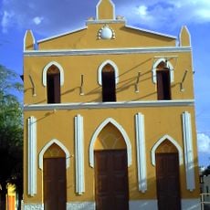
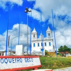
Caetés, Administrative division in Pernambuco, Brazil.
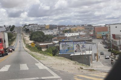
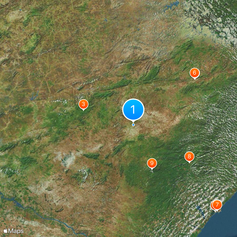
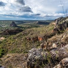
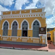
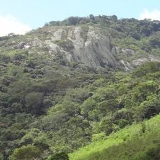
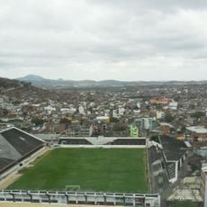
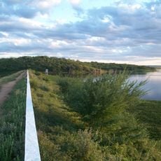
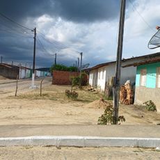
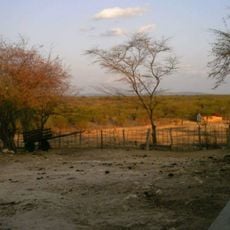
Caetés is a municipality in Pernambuco state in northeastern Brazil, situated in a region with rolling terrain. The town is connected to neighboring areas through the BR-424 highway.
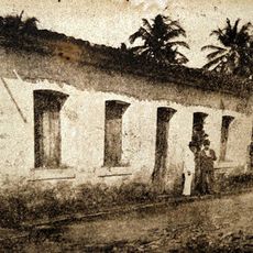
The settlement was founded in 1943 and became an independent municipality in 1963. This development reflected the administrative changes that shaped northeastern Brazil during the mid-20th century.
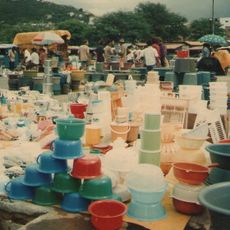
The people of Caetés are deeply connected to farming, which shapes how the community lives and works. Agriculture influences daily routines and how residents relate to their land.
The BR-424 road is the main route for arriving and traveling to other towns in the region. Visitors should expect basic local services typical of a small rural municipality.
The place shares a connection with a future Brazilian president who was born here before it became an independent municipality. This link ties the local story to broader national events.
The community of curious travelers
AroundUs brings together thousands of curated places, local tips, and hidden gems, enriched daily by 60,000 contributors worldwide.