Enable Location

We need your location to show you interesting places around you

Discover nearby places

Find interesting locations and hidden gems around you

Precise directions

Get accurate directions and distances to places

Your location is never shared with other users. It's only used when you tap the location button.

São Bento

Log in to your account

Start exploring — it's free

Trusted by 62,859 travelers worldwide

Continue with Google
Continue with Apple
or

We will send you a code to connect

By continuing, you accept our Terms and Conditions and our Privacy Policy

Check your inbox

We've sent a pincode in your inbox. Please enter the code below.

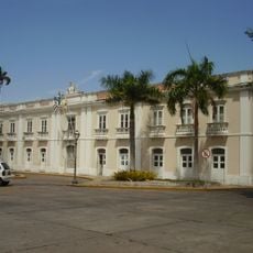
São Bento, Municipal district in northern Maranhão, Brazil

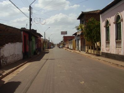
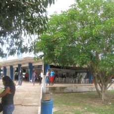
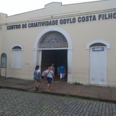
São Bento is a municipal district in northern Maranhão located in lowland areas near the Atlantic coast at around 22 meters elevation. The town serves as an administrative center providing basic services to surrounding communities.

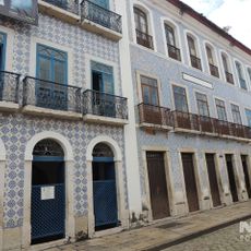
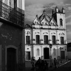
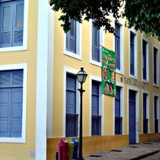
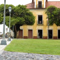
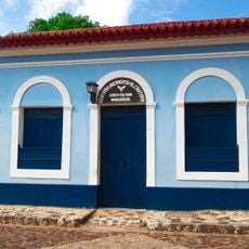
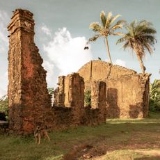
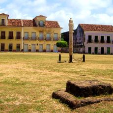
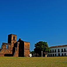
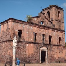
The area grew from early Portuguese colonial settlements along the northern Brazilian coast, establishing agricultural and trading activities that shaped the region. These colonial foundations influenced how the town developed and organized over time.

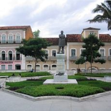
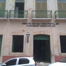
Local communities celebrate through regional festivals and religious observances that shape daily life in the town. These traditions connect people to the broader cultural roots of northern Maranhão.

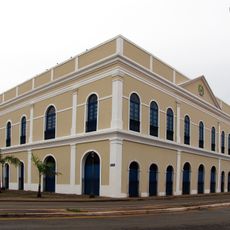
The town is accessible and straightforward to navigate given its flat terrain. Visitors can find government offices and basic facilities that serve the local area.

The town sits between the state capital and inland regions, making it a natural crossroads for goods and people moving through the area. This location has historically made it a link between coastal and interior communities.

The community of curious travelers

AroundUs brings together thousands of curated places, local tips, and hidden gems, enriched daily by 60,000 contributors worldwide.

Start exploring
Location
Elevation above the sea
22 m
Shares border with
Palmeirândia, Bacurituba, Cajapió, Pedro do Rosário, Peri Mirim, Pinheiro, São Vicente Ferrer
GPS coordinates
-2.69583,-44.82083
Latest update
December 7, 2025 20:24
« São Bento - Municipal district in northern Maranhão, Brazil » is provided by Around Us (aroundus.com). Images and texts are derived from Wikimedia project under a Creative Commons license. You are allowed to copy, distribute, and modify copies of this page, under the conditions set by the license, as long as this note is clearly visible.

Discover hidden gems everywhere you go!

From secret cafés to breathtaking viewpoints, skip the crowded tourist spots and find places that match your style. Our app makes it easy with voice search, smart filtering, route optimization, and insider tips from travelers worldwide. Download now for the complete mobile experience.

Around Us App Screenshot

A unique approach to discovering new places

Le Figaro

All the places worth exploring

France Info

A tailor-made excursion in just a few clicks

20 Minutes

Around Us
Travel Guide & Maps
Download

Send to your phone

QR Code
1

Open the camera app on your mobile.

2

Point at the QR code with your camera. A notification will appear.

3

Tap the notification to open the link.