Zona da Mata, Mesoregion in Pernambuco, Brazil.
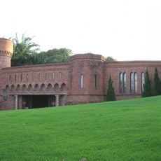
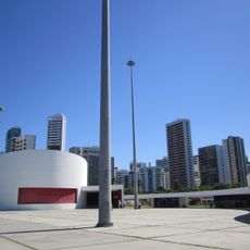
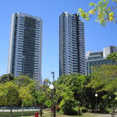
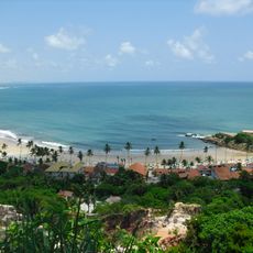
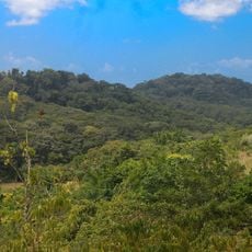
Zona da Mata spreads across the southeastern part of Pernambuco state, featuring fertile plains that lie between the Atlantic coast and the inland areas. The region consists of connected municipalities set within green agricultural land and flat terrain.
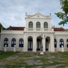
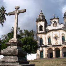
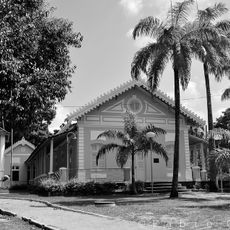
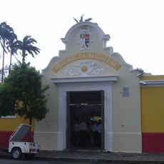
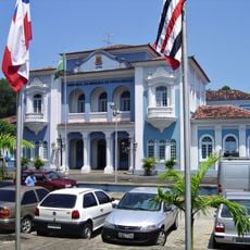
During colonial times, this region became a major center for sugarcane growing, shaping the economic structure of northeastern Brazil. This early agricultural focus left a lasting mark on how the region developed and its identity.
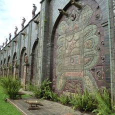
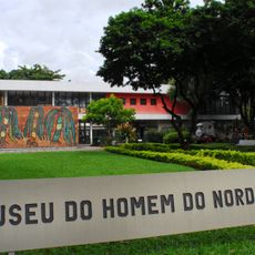
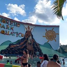
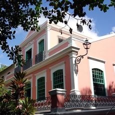
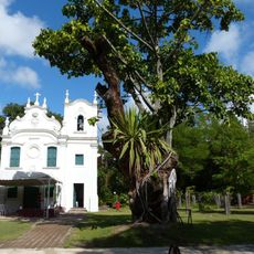
The municipalities here show traditions rooted in Indigenous, African, and European influences, visible in local celebrations, music, and food. Visitors can experience these cultural layers in festivals and in how people live their daily lives.
The area connects to major cities via well-maintained highways, with regular bus services linking the main municipalities year-round. Getting around between towns is straightforward, and roads often pass through agricultural land where you can see the landscape change.
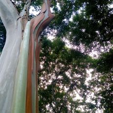
The area receives between 1,300 and 2,000 millimeters of annual rainfall, creating conditions that favor specific crops and plant growth. This high moisture level explains why the landscape stays green and certain agricultural products thrive here.
The community of curious travelers
AroundUs brings together thousands of curated places, local tips, and hidden gems, enriched daily by 60,000 contributors worldwide.