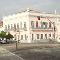
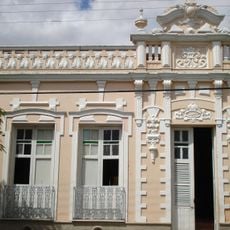
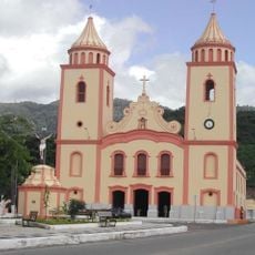
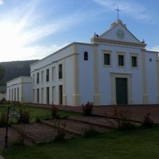
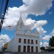
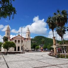
Boa Viagem, Municipality in Ceará, Brazil
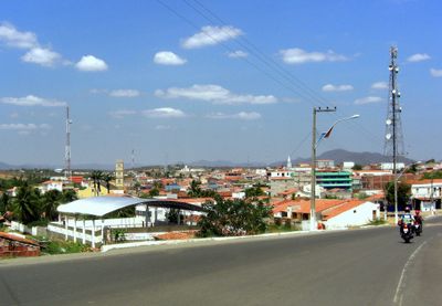
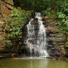
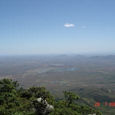
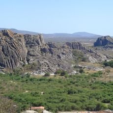
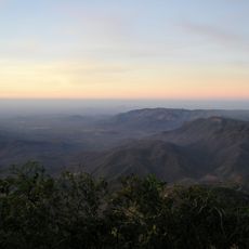
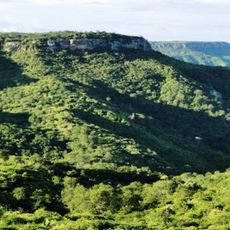
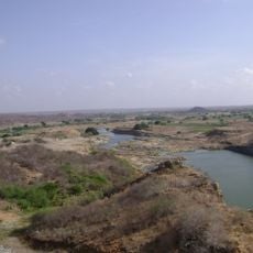
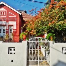
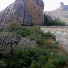
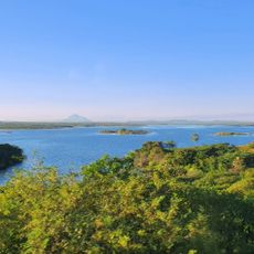
Boa Viagem is a municipality in Ceará that spreads across hilly terrain in northeastern Brazil at roughly 275 meters (900 feet) above sea level. The area features diverse landscapes with rivers running through agricultural lands and small towns scattered across the region.
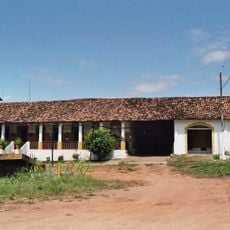
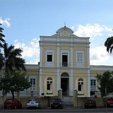
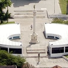
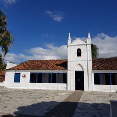
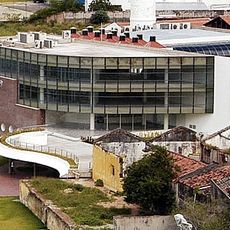
Boa Viagem was established to serve as an administrative hub for the region and shape territorial organization in Ceará. The municipality developed as an important location for exchange between local communities and contributed to the state's structural growth.
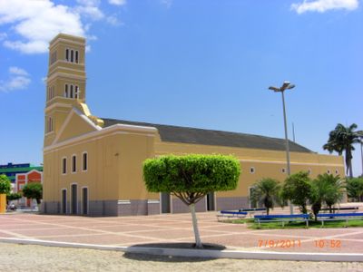
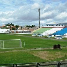
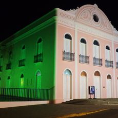
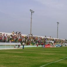
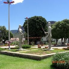
People in Boa Viagem keep local traditions alive through regional celebrations and community events that reflect northeastern Brazilian culture. These gatherings show how the place maintains its identity through music and everyday customs.
When visiting, keep in mind that the terrain is hilly and you may want to allow extra time for exploration. Nearby municipalities are connected by local roads, making it easy to explore the wider region at your own pace.
The name Boa Viagem literally means "Good Journey" and reflects how the place functioned as a hub for movement and connection. This choice of name shows how deeply the municipality is tied to the idea of travel and linking communities.
Location: Ceará
Elevation above the sea: 275 m
Shares border with: Independência, Itatira, Madalena, Monsenhor Tabosa, Pedra Branca, Quixeramobim, Santa Quitéria, Tamboril
Website: http://boaviagem.ce.gov.br
GPS coordinates: -5.12778,-39.73194
Latest update: December 7, 2025 10:08
Estatua de San Francisco de Asís
97 km
Ubajara National Park
199.3 km
Museu Senzala Negro Liberto
150.5 km
Santa Casa de Misericórdia de Sobral
174.2 km
Estádio do Junco
176.3 km
Museu do Eclipse
174.5 km
Pico da Rajada
177.1 km
Quixadá Monoliths Natural Monument
83.3 km
Teatro São João
174.2 km
Pico Alto
132.4 km
Museu da Cachaça
177.3 km
Serra das Almas Private Natural Heritage Reserve
130 km
Sobral Cathedral
173.9 km
Museu Dom José
174.4 km
Pedra da Galinha Choca
74.9 km
Museu Histórico Jacinto de Sousa
81.4 km
Stade Francisco Clenilson dos Santos
180.3 km
Castanhão Ecological Station
146.7 km
Solar dos Sampaios
146.9 km
Biblioteca Municipal Lustosa da Costa
173.8 km
Pinacoteca de Sobral
174.5 km
Cedro's Dam
76 km
Iracema e o Guerreiro Branco Martim
140.5 km
Igreja Matriz de Baturité
129.6 km
Igreja Nossa Senhora do Desterro
140.7 km
Igreja Matriz de Santana
145.3 km
Cathedral of Our Lady of Mercy, Itapipoca
181.8 km
Açude Forquilha
158.4 kmVisited this place? Tap the stars to rate it and share your experience / photos with the community! Try now! You can cancel it anytime.
Discover hidden gems everywhere you go!
From secret cafés to breathtaking viewpoints, skip the crowded tourist spots and find places that match your style. Our app makes it easy with voice search, smart filtering, route optimization, and insider tips from travelers worldwide. Download now for the complete mobile experience.
A unique approach to discovering new places❞
— Le Figaro
All the places worth exploring❞
— France Info
A tailor-made excursion in just a few clicks❞
— 20 Minutes