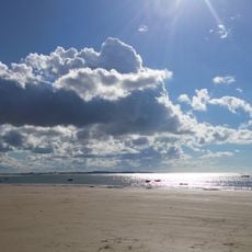
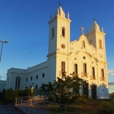
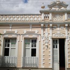
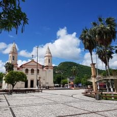
Santa Quitéria, Municipality in central Ceará, Brazil.
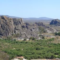
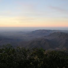
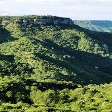
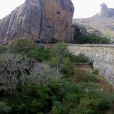
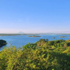
Santa Quitéria is a municipality in central Ceará, sitting at about 252 meters elevation. It covers the largest territorial area of any municipality in the state.
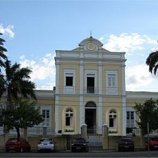
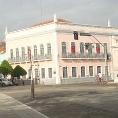
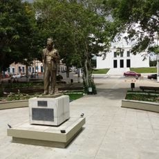
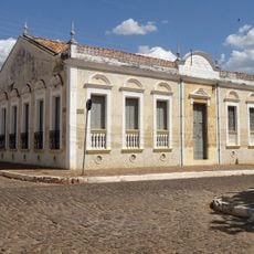
Settlement began in the 18th century when farmer João Pinto de Mesquita established his residence in the region. His presence sparked gradual population growth that shaped the area over time.
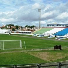
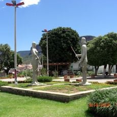
The community gathers for festivals like the Quadrilhas celebration, where regional dances and customs come alive through shared performances. These events shape how people connect with their traditions and with each other.
The municipal administration offers digital services that allow residents to handle documents and access information remotely. This means many official matters can be managed from home without visiting government offices.
The territory contains substantial uranium deposits that have shaped the local economy and identity. This mineral wealth distinguishes the area from other regions in the state.
Location: Ceará
Inception: December 17, 1987
Elevation above the sea: 252 m
Shares border with: Hidrolândia, Boa Viagem, Canindé, Cariré, Catunda, Forquilha, Groaíras, Irauçuba, Itatira, Monsenhor Tabosa, Pires Ferreira, Sobral, Varjota
Website: http://santaquiteria.ce.gov.br
GPS coordinates: -4.33194,-40.15694
Latest update: December 7, 2025 10:06
Estatua de San Francisco de Asís
94.6 km
Ubajara National Park
103.6 km
Museu Senzala Negro Liberto
159.7 km
Mother Church of Our Lady of the Assumption (Viçosa do Ceará)
134.4 km
Praia de Mundaú
154.3 km
Santa Casa de Misericórdia de Sobral
74.6 km
Estádio do Junco
76.7 km
Museu do Eclipse
74.9 km
Quixadá Monoliths Natural Monument
146.2 km
Teatro São João
74.8 km
Pico Alto
131.9 km
Serra das Almas Private Natural Heritage Reserve
122.3 km
Sobral Cathedral
74.4 km
Museu Dom José
74.9 km
Pedra da Galinha Choca
140.8 km
Serra da Ibiapaba Environmental Protection Area
140 km
Museu Histórico Jacinto de Sousa
145 km
Praça Clóvis Beviláqua
134.4 km
Solar dos Sampaios
147.1 km
Biblioteca Municipal Lustosa da Costa
74.3 km
Pinacoteca de Sobral
75 km
Cedro's Dam
141 km
Iracema e o Guerreiro Branco Martim
61.3 km
Igreja Matriz de Baturité
141.4 km
Igreja Nossa Senhora do Desterro
61.6 km
Cathedral of Our Lady of Mercy, Itapipoca
112.4 km
Açude Forquilha
60 km
Memorial Tertuliano Brandão Filho
144.9 kmVisited this place? Tap the stars to rate it and share your experience / photos with the community! Try now! You can cancel it anytime.
Discover hidden gems everywhere you go!
From secret cafés to breathtaking viewpoints, skip the crowded tourist spots and find places that match your style. Our app makes it easy with voice search, smart filtering, route optimization, and insider tips from travelers worldwide. Download now for the complete mobile experience.
A unique approach to discovering new places❞
— Le Figaro
All the places worth exploring❞
— France Info
A tailor-made excursion in just a few clicks❞
— 20 Minutes