Enable Location

We need your location to show you interesting places around you

Discover nearby places

Find interesting locations and hidden gems around you

Precise directions

Get accurate directions and distances to places

Your location is never shared with other users. It's only used when you tap the location button.

Ingá

Log in to your account

Start exploring — it's free

Trusted by 62,036 travelers worldwide

Continue with Google
Continue with Apple
or

We will send you a code to connect

By continuing, you accept our Terms and Conditions and our Privacy Policy

Check your inbox

We've sent a pincode in your inbox. Please enter the code below.

Ingá, Municipality in Paraíba, Brazil.

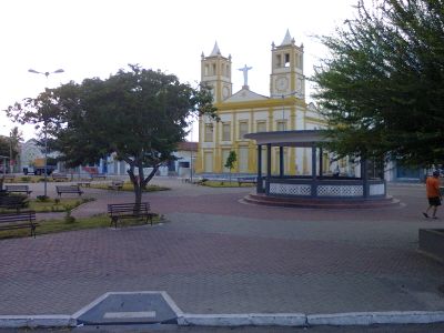
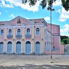
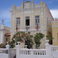
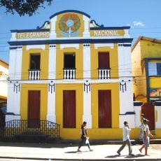
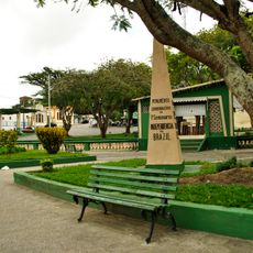
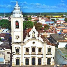
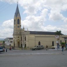
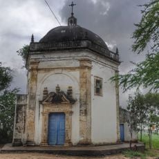
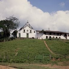
Ingá is a municipality in northeastern Brazil located in Paraíba, situated in a region marked by rivers and streams. The landscape here consists of green areas with small communities spread across the terrain, shaped by the local water systems.

The municipality was founded in 1840 under the name Vila do Imperador and received its current name in 1846. This change reflected a shift in local identity, moving away from imperial naming toward a name rooted in indigenous language.

The name Ingá comes from the Tupi-Guarani language and means 'filled with water,' referring to the rivers and streams that shape the landscape here. Local people maintain a connection to this indigenous heritage, and the name remains central to how residents understand their place.

The municipality lies about two hours by car from the state capital and is accessible by road. Visitors should prepare for a tropical climate and respect local customs.

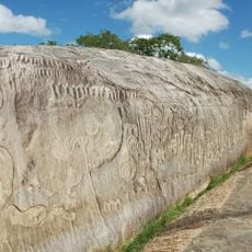
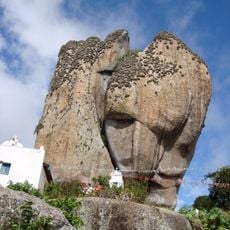
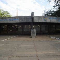
The Ingá Stone is an ancient rock formation featuring mysterious carvings left by indigenous peoples. The symbols and markings on this stone remain puzzling today and draw visitors interested in pre-Columbian history.

The community of curious travelers

AroundUs brings together thousands of curated places, local tips, and hidden gems, enriched daily by 60,000 contributors worldwide.

Start exploring
Location
Inception
November 3, 1840
Elevation above the sea
18 m
Shares border with
Itatuba, Campina Grande, Fagundes, Juarez Távora, Massaranduba, Mogeiro, Riachão do Bacamarte, Serra Redonda
GPS coordinates
-7.26778,-35.61278
Latest update
December 7, 2025 20:24
« Ingá - Municipality in Paraíba, Brazil » is provided by Around Us (aroundus.com). Images and texts are derived from Wikimedia project under a Creative Commons license. You are allowed to copy, distribute, and modify copies of this page, under the conditions set by the license, as long as this note is clearly visible.

Discover hidden gems everywhere you go!

From secret cafés to breathtaking viewpoints, skip the crowded tourist spots and find places that match your style. Our app makes it easy with voice search, smart filtering, route optimization, and insider tips from travelers worldwide. Download now for the complete mobile experience.

Around Us App Screenshot

A unique approach to discovering new places

Le Figaro

All the places worth exploring

France Info

A tailor-made excursion in just a few clicks

20 Minutes

Around Us
Travel Guide & Maps
Download

Send to your phone

QR Code
1

Open the camera app on your mobile.

2

Point at the QR code with your camera. A notification will appear.

3

Tap the notification to open the link.