Ibiapina, Administrative municipality in Ceará, Brazil.
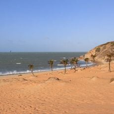
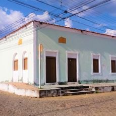
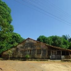
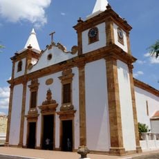
Ibiapina is a municipality in Ceará located in northeastern Brazil, sitting at an elevation of 878 meters in a highland area. The territory spans 414 square kilometers and borders several neighboring regions on its diverse terrain.
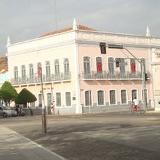
The municipality was established as settlement expanded across the state of Ceará in northeastern Brazil. Over time, it developed as part of the region's growth and administrative organization.
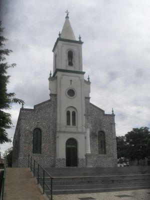
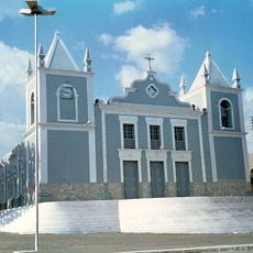
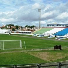
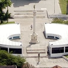
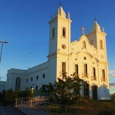
The coat of arms and flag reflect local pride and connect residents to their regional identity. Daily life here is shaped by traditions passed down through generations, visible in how people gather and celebrate together.
The municipality operates on UTC-3 time and uses area code 88 for phone calls. Visitors should prepare for the highland elevation and local climate when exploring the region.
The municipality borders five neighboring regions: Ubajara, Graça, Mucambo, São Benedito, and São João da Fronteira. This position at the intersection of multiple areas shapes local connections to surrounding communities.
Location: Ceará
Elevation above the sea: 878.42 m
Shares border with: Ubajara, Graça, Mucambo, São Benedito, São João da Fronteira
GPS coordinates: -3.92278,-40.88889
Latest update: December 8, 2025 13:41
Sete Cidades National Park
93.8 km
Jericoacoara National Park
132.2 km
Ubajara National Park
17.5 km
Mother Church of Our Lady of the Assumption (Viçosa do Ceará)
45.8 km
Santa Casa de Misericórdia de Sobral
64.2 km
Estádio do Junco
64.6 km
Museu do Eclipse
64.8 km
Teatro São João
65.7 km
Praia da Malhada
132.5 km
Serra das Almas Private Natural Heritage Reserve
135.5 km
Sobral Cathedral
65.4 km
Museu Dom José
65.9 km
Tatajuba
120.8 km
Serra da Ibiapaba Environmental Protection Area
58.3 km
Praça Clóvis Beviláqua
45.7 km
Biblioteca Municipal Lustosa da Costa
65.3 km
Pinacoteca de Sobral
65.4 km
Casarão do Embaixador
106.2 km
Casa de Fazenda da Dona Alemã
131.1 km
Iracema e o Guerreiro Branco Martim
49 km
Farol Luís Correia
134.8 km
Camocim Lighthouse
118 km
Barra dos remédios
116.6 km
Igreja Matriz de Nossa Senhora do Carmo
91.1 km
Igreja Nossa Senhora do Desterro
48.9 km
Antiga Intendência de Piracuruca
91.1 km
Açude Forquilha
72.5 km
Memorial Tertuliano Brandão Filho
84.6 kmVisited this place? Tap the stars to rate it and share your experience / photos with the community! Try now! You can cancel it anytime.
Discover hidden gems everywhere you go!
From secret cafés to breathtaking viewpoints, skip the crowded tourist spots and find places that match your style. Our app makes it easy with voice search, smart filtering, route optimization, and insider tips from travelers worldwide. Download now for the complete mobile experience.
A unique approach to discovering new places❞
— Le Figaro
All the places worth exploring❞
— France Info
A tailor-made excursion in just a few clicks❞
— 20 Minutes