
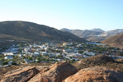
Springbok, town in the Northern Cape, South Africa
Location: Nama Khoi Local Municipality
Inception: 1862
Elevation above the sea: 950 m
GPS coordinates: -29.66667,17.88333
Latest update: March 9, 2025 19:46
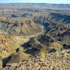
Fish River Canyon
218.9 km
Richtersveld
135.9 km
Augrabies Falls
267.2 km
Diepkloof Rock Shelter
307.6 km
Apollo 11 Cave
226.7 km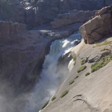
Augrabies Falls National Park
267.1 km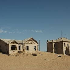
Sperrgebiet
325.1 km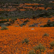
Namaqua National Park
84.6 km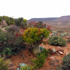
ǀAi-ǀAis/Richtersveld Transfrontier Park
208.8 km
Goegap Nature Reserve
11.1 km
Soom Shale
293.7 km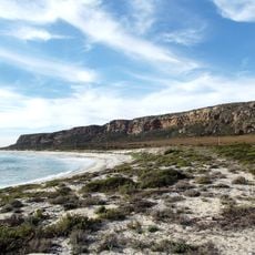
Mussel Point
300.1 km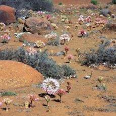
Hantam National Botanical Garden
228.8 km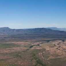
Oorlogskloof Nature Reserve
232.7 km
Verlorenvlei Heritage Settlement
300 km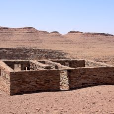
Nai-Ams Fortification
324.9 km
Cederberg Wilderness Area
319.3 km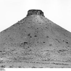
Schlangkopf
325.9 km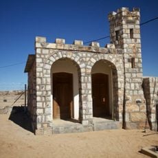
Historical Gateways
159 km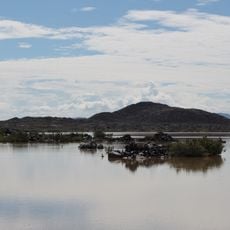
Erholungsgebiet Naute
304.5 km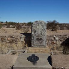
Edward Cook's Commemorative Stone
159.5 km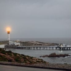
Doringbaai Lighthouse
241.7 km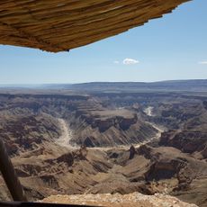
Hiker's Viewpoint
234.1 km
Klipkerk
157 mBoesmansvlei
256.3 kmGapützpan
285.1 km
Zeven Puts Private Nature Reserve
261.5 kmGannapan
271.1 kmVisited this place? Tap the stars to rate it and share your experience / photos with the community! Try now! You can cancel it anytime.
Discover hidden gems everywhere you go!
From secret cafés to breathtaking viewpoints, skip the crowded tourist spots and find places that match your style. Our app makes it easy with voice search, smart filtering, route optimization, and insider tips from travelers worldwide. Download now for the complete mobile experience.

A unique approach to discovering new places❞
— Le Figaro
All the places worth exploring❞
— France Info
A tailor-made excursion in just a few clicks❞
— 20 Minutes