
Tsamhole Pan
Location: Zimbabwe
Elevation above the sea: 1,062 m
GPS coordinates: -18.75000,25.88333
Latest update: June 6, 2025 09:53
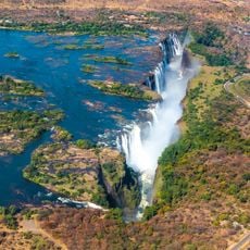
Victoria Falls
91.9 km
Lake Kariba
297 km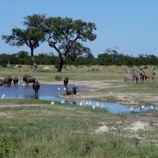
Chobe National Park
156.8 km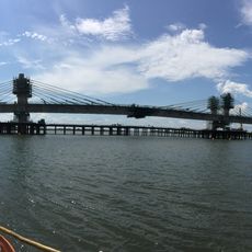
Kazungula Bridge
125.3 km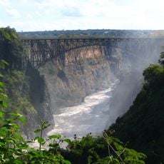
Victoria Falls Bridge
91.5 km
Mosi-oa-Tunya National Park
97.7 km
Moremi Game Reserve
289.7 km
Kavango–Zambezi Transfrontier Conservation Area
315.8 km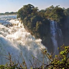
Victoria Falls National Park
91.4 km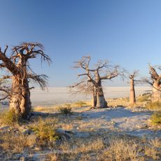
Kubu Island
238.7 km
Zambezi National Park
95.4 km
Kasikili
130.7 km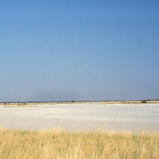
Nxai Pan National Park
185.4 km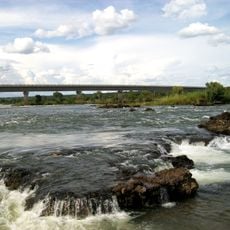
Katima Mulilo Bridge
223.9 km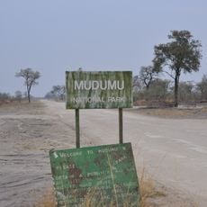
Mudumu National Park
265.3 km
Impalila
128.2 km
Nata Bird Sanctuary
180.7 km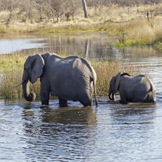
Makgadikgadi Pans National Park
236.5 km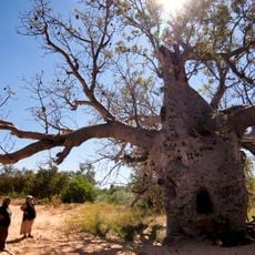
Boab Prison Tree
130.9 km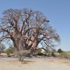
Chapman’s Baobab
204.8 km
The Livingstone Museum
100.5 km
Railway Museum
98.9 km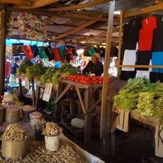
Maramba Market
100.4 km
Ngoma bridge
153.6 km
Kongolabrücke
288.9 km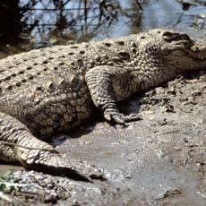
Zambezi Nature Sanctuary
94.4 km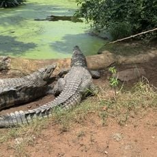
Livingstone Crocodile Park
96.4 km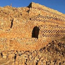
Ruines de Khami
308.5 kmReviews
Visited this place? Tap the stars to rate it and share your experience / photos with the community! Try now! You can cancel it anytime.
Discover hidden gems everywhere you go!
From secret cafés to breathtaking viewpoints, skip the crowded tourist spots and find places that match your style. Our app makes it easy with voice search, smart filtering, route optimization, and insider tips from travelers worldwide. Download now for the complete mobile experience.

A unique approach to discovering new places❞
— Le Figaro
All the places worth exploring❞
— France Info
A tailor-made excursion in just a few clicks❞
— 20 Minutes