Enable Location

We need your location to show you interesting places around you

Discover nearby places

Find interesting locations and hidden gems around you

Precise directions

Get accurate directions and distances to places

Your location is never shared with other users. It's only used when you tap the location button.

Barotse Floodplain

Log in to your account

Start exploring — it's free

Trusted by 61,564 travelers worldwide

Continue with Google
Continue with Apple
or

We will send you a code to connect

By continuing, you accept our Terms and Conditions and our Privacy Policy

Check your inbox

We've sent a pincode in your inbox. Please enter the code below.

Barotse Floodplain

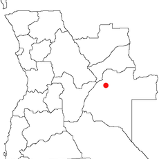
Barotse Floodplain, Wetland in Mongu District, Zambia

Description

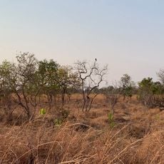
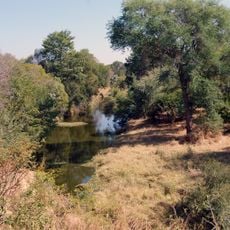
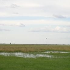
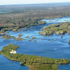
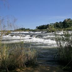
The Barotse Floodplain stretches along the Zambezi River and transforms dramatically as water levels rise and fall with the seasons. The landscape shifts from open grasslands and wetlands to submerged areas, creating a dynamic environment that changes throughout the year.

History

This region was the heart of the Lozi kingdom under King Lewanika, which extended across much of the area. The kingdom's influence on the region remains part of the heritage and identity of the people living here today.

Culture

The Kuomboka ceremony marks how communities here move between lowland and higher areas with the changing water levels, keeping a tradition tied to their environment. This seasonal movement shapes how people organize their year and their connection to the river.

Practical

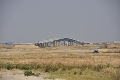
Plan your visit around the water levels, as rainy season floods can make some areas unreachable while drier months offer easier access. Checking local conditions before you go helps you understand what parts of the floodplain you can explore.

Did you know?

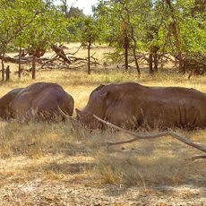
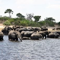
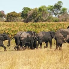
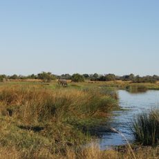
The floodplain is home to fish species and waterbirds found nowhere else in the region, making it a rare refuge for wildlife. This exceptional biodiversity is what draws both local observers and visiting naturalists to study the area.

Location
Address
Barotse Floodplain, Zambia
GPS coordinates
-15.32551,23.01628
Latest update
December 6, 2025 17:40

AroundUs brings together thousands of curated places, local tips, and hidden gems, enriched daily by 60,000 contributors worldwide. Discover all places nearby (Mongu District).

Main natural and cultural attractions in Zambia

Zambia showcases a remarkable collection of natural wonders and cultural destinations. Victoria Falls stands as the most famous attraction, drawing visitors from around the world. The Livingstone region blends natural features like Batoka Gorge, Livingstone Island, and Devil's Pool with museums and...

« Barotse Floodplain - Wetland in Mongu District, Zambia » is provided by Around Us (aroundus.com). Images and texts are derived from Wikimedia project under a Creative Commons license. You are allowed to copy, distribute, and modify copies of this page, under the conditions set by the license, as long as this note is clearly visible.

Discover hidden gems everywhere you go!

From secret cafés to breathtaking viewpoints, skip the crowded tourist spots and find places that match your style. Our app makes it easy with voice search, smart filtering, route optimization, and insider tips from travelers worldwide. Download now for the complete mobile experience.

Around Us App Screenshot

A unique approach to discovering new places

Le Figaro

All the places worth exploring

France Info

A tailor-made excursion in just a few clicks

20 Minutes

Around Us
Travel Guide & Maps
Download

Send to your phone

QR Code
1

Open the camera app on your mobile.

2

Point at the QR code with your camera. A notification will appear.

3

Tap the notification to open the link.