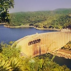
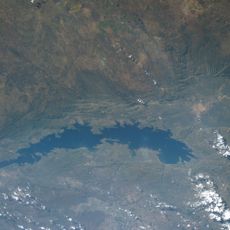
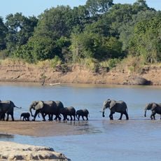
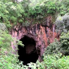
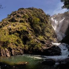
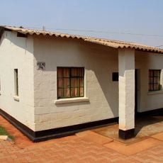
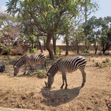
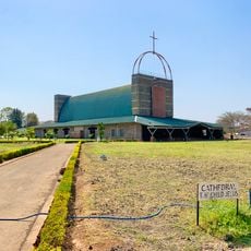
Rufunsa District, district in Lusaka Province, Zambia
Location: Lusaka Province
Elevation above the sea: 961 m
GPS coordinates: -15.06667,29.66667
Latest update: June 14, 2025 10:46
Kariba Dam
188.8 km
Lake Kariba
279.5 km
Cahora Bassa Dam
331.2 km
Cahora Bassa Reservoir
242 km
South Luangwa National Park
303.5 km
Chinhoyi Caves
258.9 km
Mana Pools
84.1 km
Livingstone Memorial
315.3 km
National Heroes Stadium
153.5 km
Lower Zambezi National Park
84.1 km
Kasanka National Park
299.6 km
Chirundu Bridge
139 km
Lake Chivero
337.5 km
Independence Stadium
153.9 km
Luangwa Bridge
59.5 km
Lochinvar National Park
267.9 km
Kundalila Falls
240.6 km
Chilenje House 394
149.3 km
Munda Wanga Environmental Park
159.6 km
Magoe National Park
260.2 km
Child Jesus Cathedral, Lusaka
150.2 km
New Lusaka Stadium
153.6 km
Kalimba Reptile Park
142.5 km
Mana Pools National Park, Sapi and Chewore Safari Areas
88.3 km
Chewore
79.5 km
Lusaka National Museum
152.9 km
Cathedral of the Holy Cross, Lusaka
151.6 km
Freedom Statue
153 kmReviews
Visited this place? Tap the stars to rate it and share your experience / photos with the community! Try now! You can cancel it anytime.
Discover hidden gems everywhere you go!
From secret cafés to breathtaking viewpoints, skip the crowded tourist spots and find places that match your style. Our app makes it easy with voice search, smart filtering, route optimization, and insider tips from travelers worldwide. Download now for the complete mobile experience.
A unique approach to discovering new places❞
— Le Figaro
All the places worth exploring❞
— France Info
A tailor-made excursion in just a few clicks❞
— 20 Minutes