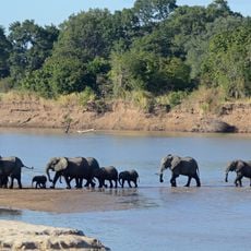
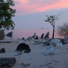
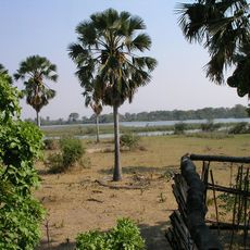
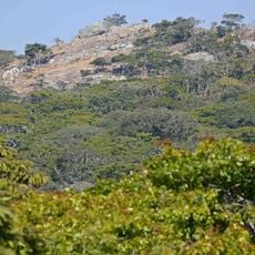
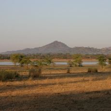
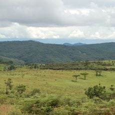
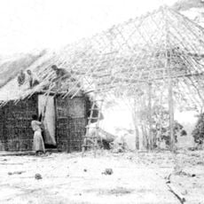
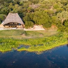
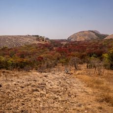
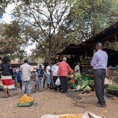
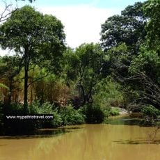
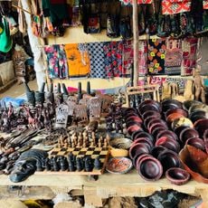
Nkhotakota District, district of Malawi
The community of curious travelers
AroundUs brings together thousands of curated places, local tips, and hidden gems, enriched daily by 60,000 contributors worldwide.
Location
Capital city
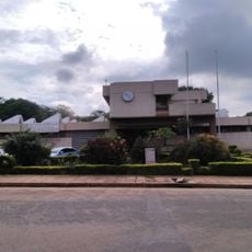
Nkhotakota
Elevation above the sea
1,638 m
Shares border with
Salima District, Ntchisi District, Kasungu District, Mzimba District, Nkhata Bay District
GPS coordinates
-13.00000,34.08333
Latest update
March 3, 2025 14:36