
Chutes Lupata, Wasserfall in der Demokratischen Republik Kongo
Location: Katanga Province
Elevation above the sea: 1,278 m
GPS coordinates: -9.86528,26.03806
Latest update: April 29, 2025 10:34
Kalambo
588.8 km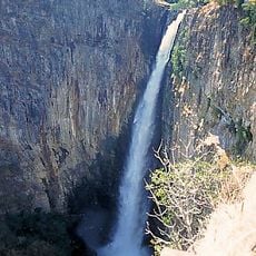
Kalambo Falls
588.7 km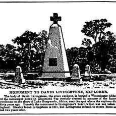
Livingstone Memorial
537.9 km
Kafue National Park
603.9 km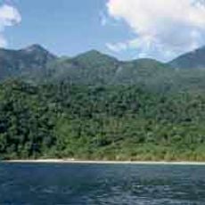
Mahale Mountains National Park
587.1 km
Bangweulu Wetlands
482.7 km
Kasanka National Park
568.7 km
Upemba National Park
111.8 km
Upemba Depression
146.4 km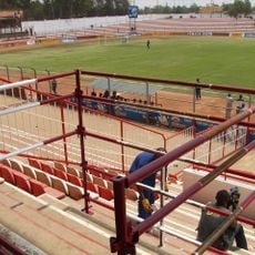
Stade Frederic Kibassa Maliba
258.7 km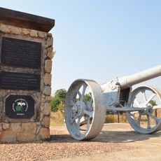
Chambeshi Monument
564.1 km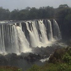
Lumangwe Falls
369.3 km
Nsumbu National Park
493.3 km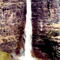
Lofoi Falls
177.4 km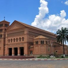
Sts. Peter and Paul Cathedral, Lubumbashi
255 km
National Museum of Lubumbashi
253.4 km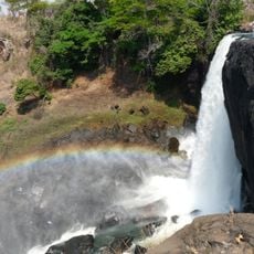
Chishimba Falls
496.1 km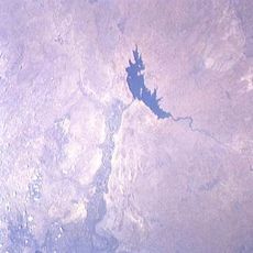
Lake Nzilo
89.4 km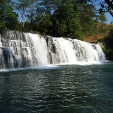
Mumbuluma Falls
318.2 km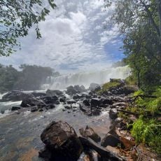
Mutumuna Falls
496.1 km
St. John the Apostle Cathedral, Kasama
566.4 km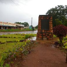
Abercorn Memorial
596.5 km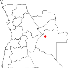
Karipande
500.5 km
Stade des Jeunes
597.7 km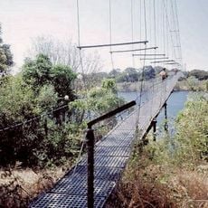
Chinyingi Bridge
509.5 km
Ikamba
602 km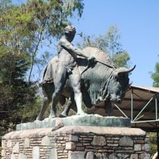
Zoo de Lubumbashi
254.9 km
Kasama Cathedral
565.4 kmReviews
Visited this place? Tap the stars to rate it and share your experience / photos with the community! Try now! You can cancel it anytime.
Discover hidden gems everywhere you go!
From secret cafés to breathtaking viewpoints, skip the crowded tourist spots and find places that match your style. Our app makes it easy with voice search, smart filtering, route optimization, and insider tips from travelers worldwide. Download now for the complete mobile experience.

A unique approach to discovering new places❞
— Le Figaro
All the places worth exploring❞
— France Info
A tailor-made excursion in just a few clicks❞
— 20 Minutes