Enable Location

We need your location to show you interesting places around you

Discover nearby places

Find interesting locations and hidden gems around you

Precise directions

Get accurate directions and distances to places

Your location is never shared with other users. It's only used when you tap the location button.

Katanga Province

Log in to your account

Start exploring — it's free

Trusted by 61,606 travelers worldwide

Continue with Google
Continue with Apple
or

We will send you a code to connect

By continuing, you accept our Terms and Conditions and our Privacy Policy

Check your inbox

We've sent a pincode in your inbox. Please enter the code below.

Katanga Province

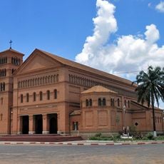
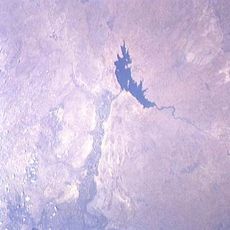
Katanga Province, Historical region in southeastern Democratic Republic of the Congo

Description

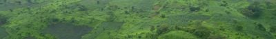
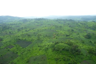
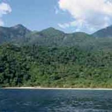
Katanga is a historical region in the southeastern Democratic Republic of the Congo that covers large elevated plains and mining zones. The land rises to form two major plateaus, the Kundelungu and the Mitumba, both reaching elevations around 1500 to 1600 meters (4900 to 5250 feet).

History

The region attempted to break away from the newly formed Congolese state in 1960, sparking armed conflict and international attention. The secession ended several years later after military intervention and negotiations brought the territory back under central control.

Culture

The region maintains strong industrial traditions centered around mineral extraction, particularly copper mining, which dates back more than ten centuries point.

Practical

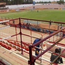
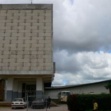
The area is connected by road and rail networks that link the main urban centers such as Lubumbashi, Likasi, and Kolwezi. Travelers should expect long distances and variable road conditions, especially when moving away from the main routes.

Did you know?

The territory holds some of the oldest copper deposits on Earth, embedded in geological layers from the late Precambrian era. These deposits contain roughly ten percent of the world's copper reserves and have drawn miners for centuries.

Inception
1910
Capital city
Lubumbashi
Shares border with
Kasaï-Occidental, Kasaï-Oriental, Maniema, South Kivu
GPS coordinates
-9.00000,26.00000
Latest update
December 13, 2025 16:14

AroundUs brings together thousands of curated places, local tips, and hidden gems, enriched daily by 60,000 contributors worldwide. Discover all places nearby (Democratic Republic of the Congo).

« Katanga Province - Historical region in southeastern Democratic Republic of the Congo » is provided by Around Us (aroundus.com). Images and texts are derived from Wikimedia project under a Creative Commons license. You are allowed to copy, distribute, and modify copies of this page, under the conditions set by the license, as long as this note is clearly visible.

Discover hidden gems everywhere you go!

From secret cafés to breathtaking viewpoints, skip the crowded tourist spots and find places that match your style. Our app makes it easy with voice search, smart filtering, route optimization, and insider tips from travelers worldwide. Download now for the complete mobile experience.

Around Us App Screenshot

A unique approach to discovering new places

Le Figaro

All the places worth exploring

France Info

A tailor-made excursion in just a few clicks

20 Minutes

Around Us
Travel Guide & Maps
Download

Send to your phone

QR Code
1

Open the camera app on your mobile.

2

Point at the QR code with your camera. A notification will appear.

3

Tap the notification to open the link.