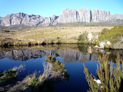
Andringitra National Park, National park in Haute Matsiatra region, Madagascar.
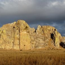
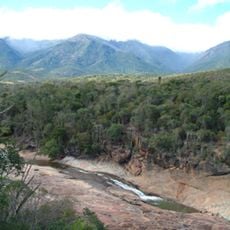
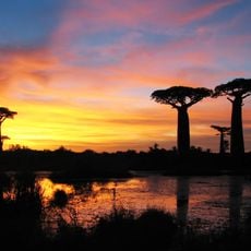
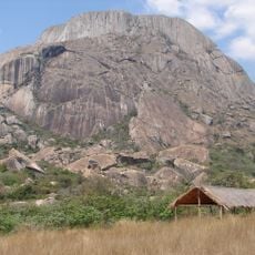
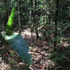
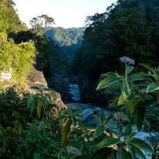
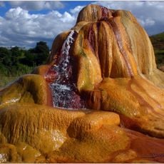
Andringitra is a national park in the Haute Matsiatra region featuring landscapes that range from rainforests in lower elevations to rocky granite peaks in higher areas. The terrain offers multiple hiking routes and varied habitats for different plant and animal species.
The area became a protected nature reserve in 1927 to safeguard its natural environment. It was later designated as a national park in 1999, increasing the level of protection and management.
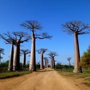
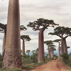
Local communities practice cattle herding and rice farming in areas around the park, with these traditions shaping how people interact with the landscape. The farming methods are adapted to the local terrain and climate, reflecting generations of knowledge about the region.
Getting there requires a four-wheel-drive vehicle since roads can be rough and access is limited. Plan for a multi-day visit and bring proper gear for extended hiking and camping.
Weather conditions shift dramatically with elevation, from cold mountain conditions with occasional snow to warm tropical temperatures in lower areas. These extreme variations create distinct ecological zones where different species have adapted to survive.
The community of curious travelers
AroundUs brings together thousands of curated places, local tips, and hidden gems, enriched daily by 60,000 contributors worldwide.