Enable Location

We need your location to show you interesting places around you

Discover nearby places

Find interesting locations and hidden gems around you

Precise directions

Get accurate directions and distances to places

Your location is never shared with other users. It's only used when you tap the location button.

Ambohiby Massif

Log in to your account

Start exploring — it's free

Trusted by 68,037 travelers worldwide

Continue with Google
Continue with Apple
or

We will send you a code to connect

By continuing, you accept our Terms and Conditions and our Privacy Policy

Check your inbox

We've sent a pincode in your inbox. Please enter the code below.

Ambohiby Massif
Discussion Reviews 1 Photos
57.8k Popularity

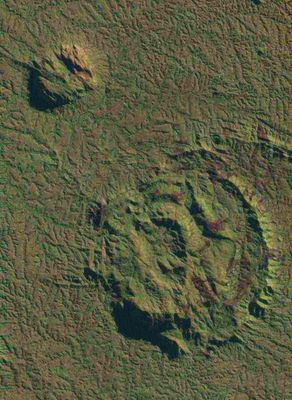
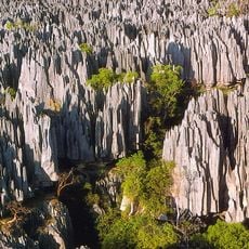
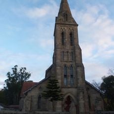
Ambohiby Massif, Volcanic massif in Bongolava region, Madagascar.

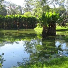
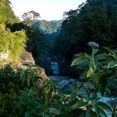
The Ambohiby Massif stretches 225 kilometers (140 miles) across the highlands of Madagascar, with two prominent peaks rising above dense vegetation. The slopes are covered in thick forest, while the interior forms a ring structure with several natural water sources.

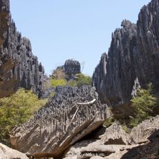
The massif formed during the Late Cretaceous period, roughly 90 million years ago, when Madagascar and India separated and volcanic activity shaped the region. The subsequent collapse of volcanic structures created the present ring landscape with its two remaining peaks.

The indigenous population named the crater Andranomangatsiaka, meaning where we find sweet water, referring to the natural springs in the area. This name is still used by people who live and work in the surrounding region, showing their close relationship with the landscape.

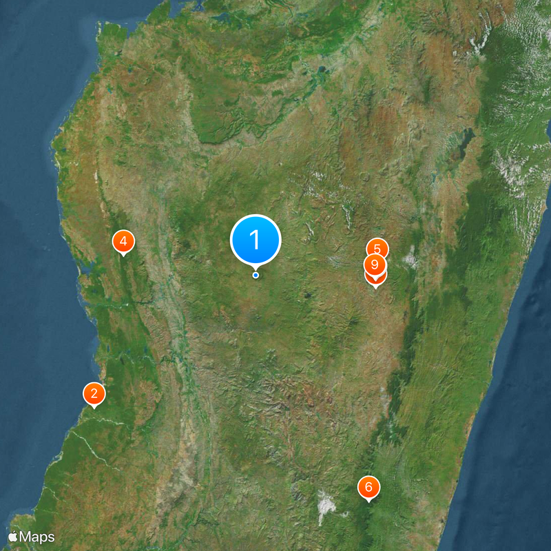
Access is through the nearby town of Tsiroanomandidy, located about 18 kilometers (11 miles) away, which serves as a base for exploration. Local guides can be arranged on site and help with orientation through the dense forest and rugged sections.

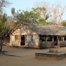
Inside the ring structure lives a small community of about 300 Betsileo people in relative isolation, separated from other settlements by natural barriers. This community has developed its own rhythm of daily life, using the water sources and agricultural land within the crater.

The community of curious travelers

AroundUs brings together thousands of curated places, local tips, and hidden gems, enriched daily by 60,000 contributors worldwide.

Start exploring
GPS coordinates
-18.88170,46.20170
Latest update
December 13, 2025 19:42
Reviews
Share your experience

No review yet

Discussions
Start a discussion...

No discussion yet

« Ambohiby Massif - Volcanic massif in Bongolava region, Madagascar » is provided by Around Us (aroundus.com). Images and texts are derived from Wikimedia project under a Creative Commons license. You are allowed to copy, distribute, and modify copies of this page, under the conditions set by the license, as long as this note is clearly visible.

Discover hidden gems everywhere you go!

From secret cafés to breathtaking viewpoints, skip the crowded tourist spots and find places that match your style. Our app makes it easy with voice search, smart filtering, route optimization, and insider tips from travelers worldwide. Download now for the complete mobile experience.

Around Us App Screenshot

A unique approach to discovering new places

Le Figaro

All the places worth exploring

France Info

A tailor-made excursion in just a few clicks

20 Minutes

Around Us
Travel Guide & Maps
Download

Send to your phone

QR Code
1

Open the camera app on your mobile.

2

Point at the QR code with your camera. A notification will appear.

3

Tap the notification to open the link.