Chikwawa District, district of Malawi
Location: Southern Region
Capital city: Chikwawa
Elevation above the sea: 105 m
Shares border with: Mwanza District, Blantyre District, Thyolo District, Nsanje District
GPS coordinates: -16.16667,34.75000
Latest update: March 3, 2025 07:57
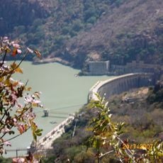
Cahora Bassa Dam
228.3 km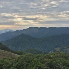
Mount Mabu
176.4 km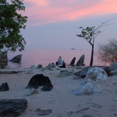
Lake Malawi National Park
235 km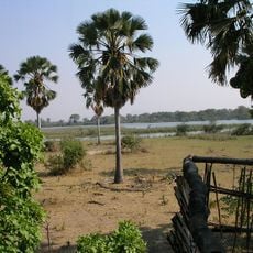
Liwonde National Park
161.1 km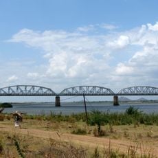
Dona Ana Bridge
145.6 km
Mount Namuli
263.4 km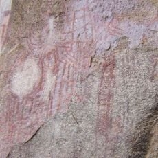
Chongoni Rock Art Area
214.6 km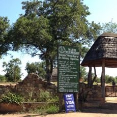
Majete Wildlife Reserve
28.6 km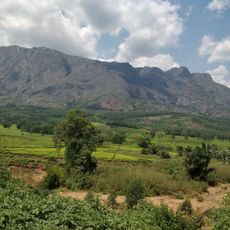
Mulanje Mountain Forest Reserve
92 km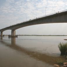
Armando Emilio Guebuza Bridge
195.3 km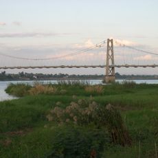
Samora Machel Bridge
123.6 km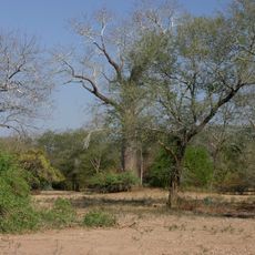
Lengwe National Park
10.1 km
Chichiri Museum
50.9 km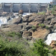
Kapichira Falls
30 km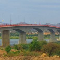
Kassuende Bridge
121 km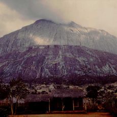
Chambe Peak
88.3 km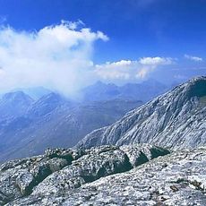
Sapitwa
93.4 km
Lupata Gorge
94.1 km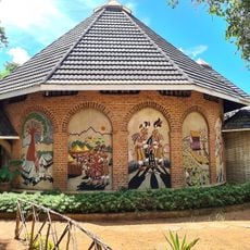
Kungoni Centre Of Culture And Art
211.5 km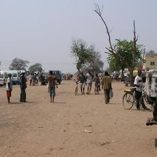
Nchalo
17.5 km
Bunda
244.4 km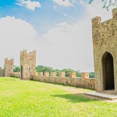
Kumbali Castle Gardens
265.4 km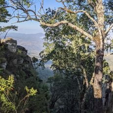
Michiru Forest Reserve
53 km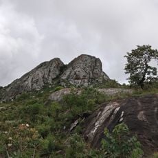
Nkhoma Mountain
248.8 km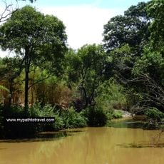
Lilongwe Nature Reserve
265.1 km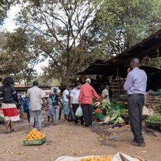
Lizulu Horticulture Market
264.5 km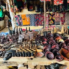
Area 4 Arts and Handicrafts Flea Market
265.1 km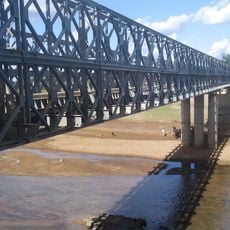
Phalombe bridge longest
111.6 kmReviews
Visited this place? Tap the stars to rate it and share your experience / photos with the community! Try now! You can cancel it anytime.
Discover hidden gems everywhere you go!
From secret cafés to breathtaking viewpoints, skip the crowded tourist spots and find places that match your style. Our app makes it easy with voice search, smart filtering, route optimization, and insider tips from travelers worldwide. Download now for the complete mobile experience.

A unique approach to discovering new places❞
— Le Figaro
All the places worth exploring❞
— France Info
A tailor-made excursion in just a few clicks❞
— 20 Minutes