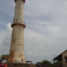
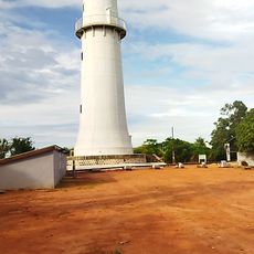
Mahavavy-Kinkony, Protected area in western Madagascar
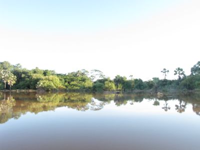
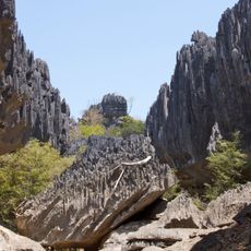
Mahavavy-Kinkony is a large protected area in western Madagascar containing dry forests, wetlands, mangrove swamps, and a major lake. The landscape forms a patchwork of different ecosystems, each defined by its own vegetation and water systems.
The area developed gradually as a protected site, with different parts receiving protection at different times starting in the 1950s and continuing through the 1970s. This stepped approach reflects growing recognition of the ecological value of these different landscapes.
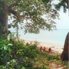
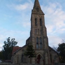
The Sakalava people hold sacred places around the lake where traditional ceremonies led by the Marambitsy queen take place. These practices are woven into the daily rhythm of the communities who live nearby and use these spaces for spiritual purposes.
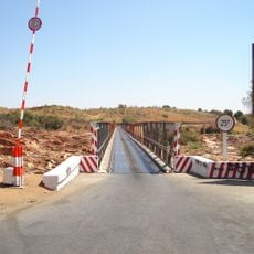
Access is through the coastal city of Mahajanga in the west, then by crossing the river and traveling on secondary roads to reach the visitor area at Mitsinjo. The dry season offers easier travel, as secondary roads can become difficult during heavier rainfall.
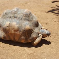
The area harbors remarkable wildlife across multiple habitats, with hundreds of different species distributed throughout its various ecosystems. Visitors who observe nature carefully will notice how each landscape zone supports its own particular animal and plant communities.
The community of curious travelers
AroundUs brings together thousands of curated places, local tips, and hidden gems, enriched daily by 60,000 contributors worldwide.