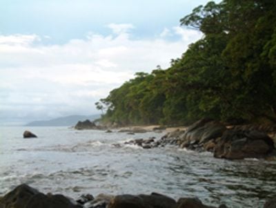
Masoala Peninsula, Protected rainforest peninsula in northeastern Madagascar.
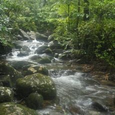
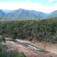
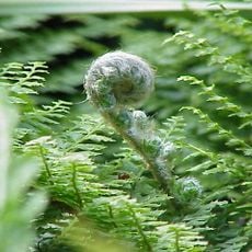
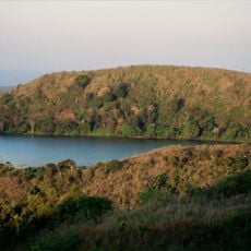
Masoala Peninsula is a protected rainforest region in northeastern Madagascar covered with dense forest, coastal areas, and wetlands. Three marine parks with coral reefs lie in the waters offshore.
The site gained national park protection in 1997 to preserve its exceptional wildlife and forests. This designation recognized the region's global importance for conservation.
The Betsimisaraka people live in villages around the peninsula and maintain their coastal traditions in these communities. They have developed deep connections to the sea and surrounding forests over centuries.
The best time to visit is September through December when weather conditions are most stable. Boat access from Maroantsetra is the main way to reach the peninsula.
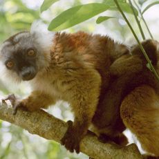
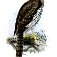
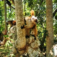
The peninsula is home to an exceptional variety of lemurs and marine life, including red ruffed lemurs and numerous coral species. This combination of forest and ocean wildlife makes it a rare place.
The community of curious travelers
AroundUs brings together thousands of curated places, local tips, and hidden gems, enriched daily by 60,000 contributors worldwide.