Kilimanjaro National Park, National park in northern Tanzania.
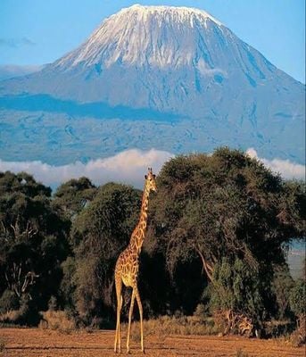
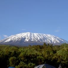
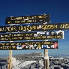
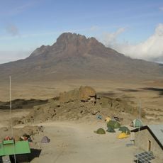
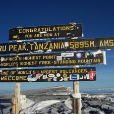
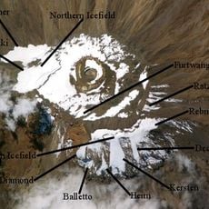
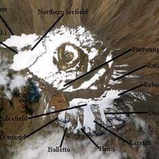
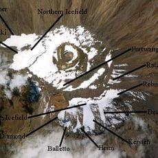
Kilimanjaro National Park covers Mount Kilimanjaro above the tree line and the surrounding montane forest belt above 1,820 metres, spanning 1,688 square kilometres in northern Tanzania. The mountain has three volcanic cones: Shira (3,962 m) in the west, Mawenzi (5,149 m) in the east and Kibo (5,895 m) in the centre, whose summit carries a perennial glacier. Between Kibo and Mawenzi lies a 3,600-hectare plateau called the Saddle, the continent's largest high-altitude tundra.
In the early 1900s, the mountain region was set aside as a game reserve under German colonial rule to protect its environment. Tanzania formally established the national park in 1973 following independence, and the site later gained international recognition as a World Heritage Site.
The park headquarters are at Marangu, about 44 km from Moshi, where the gate stands at 1,870 m. In the lower forest belt, between roughly 1,800 and 2,700 m, tall Macaranga kilimandscharica, Albizia schimperiana and Mitragyna rubrostipulata form the canopy, with Tabernaemontana holstii and Xymalos monospora beneath. Look for the pink Impatiens pseudoviola and the scarlet Impatiens kilimanjari in the undergrowth.
Several marked routes lead to the summit, each with different difficulty levels and accommodation styles ranging from mountain huts to camping sites. Plan your visit during the drier seasons when trails are in better condition and weather is more stable for climbing.
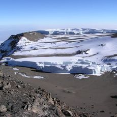
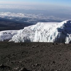
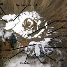
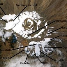
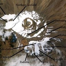
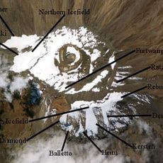
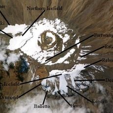
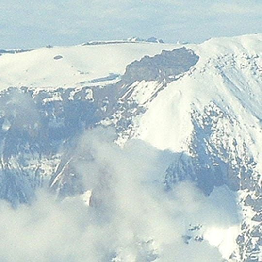
The snow and ice on the summit have shrunk noticeably over recent decades, making the mountain itself a visible indicator of environmental change. Climbers reaching the top can see this transformation firsthand, as the glaciers have become significantly smaller than in earlier decades.
The community of curious travelers
AroundUs brings together thousands of curated places, local tips, and hidden gems, enriched daily by 93,764 contributors worldwide.