Enable Location

We need your location to show you interesting places around you

Discover nearby places

Find interesting locations and hidden gems around you

Precise directions

Get accurate directions and distances to places

Your location is never shared with other users. It's only used when you tap the location button.

Mount Kilimanjaro climbing routes

Log in to your account

Start exploring — it's free

Trusted by 64,623 travelers worldwide

Continue with Google
Continue with Apple
or

We will send you a code to connect

By continuing, you accept our Terms and Conditions and our Privacy Policy

Check your inbox

We've sent a pincode in your inbox. Please enter the code below.

Mount Kilimanjaro climbing routes
Discussion Reviews 3 Photos
47.4k Popularity

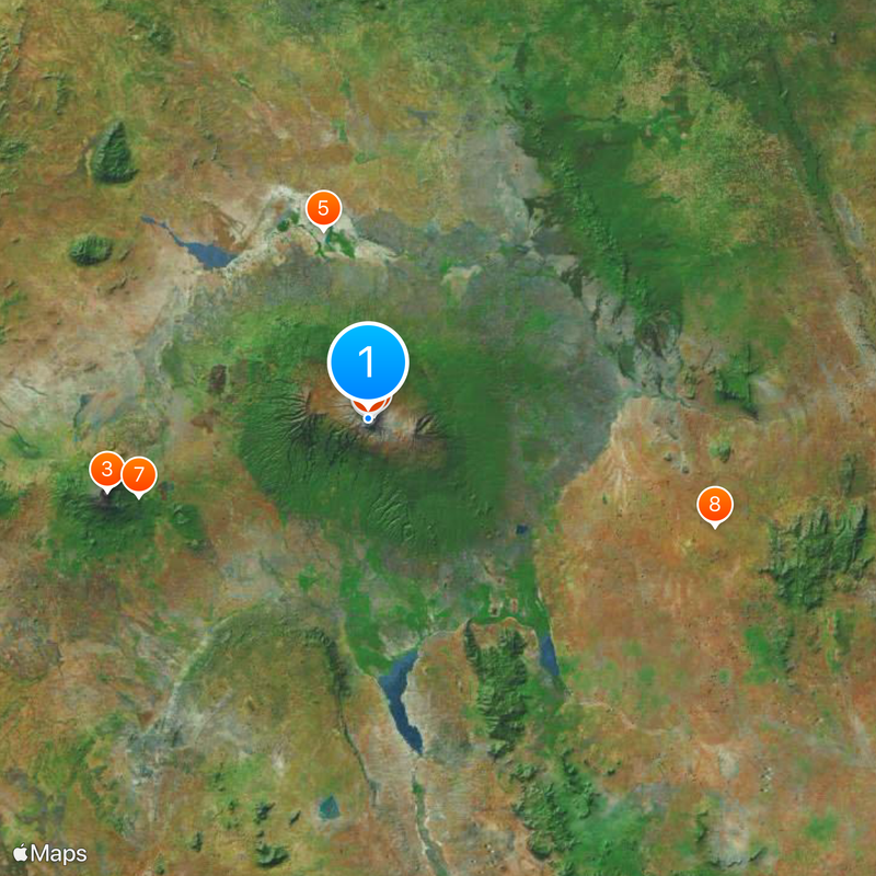
Mount Kilimanjaro climbing routes, overview about Mount Kilimanjaro climbing routes

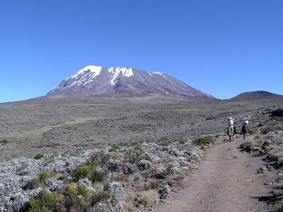
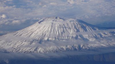
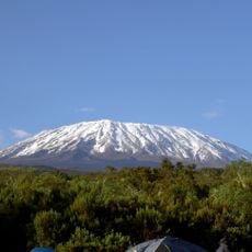
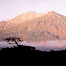
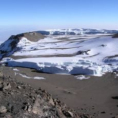
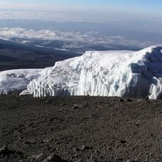
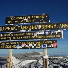
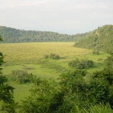
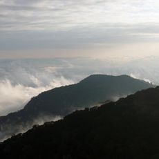
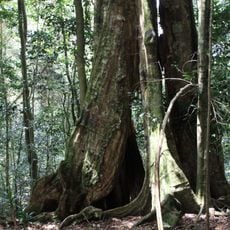
The Kilimanjaro climbing routes are a set of marked trails that lead to the summit of Africa's highest mountain in Tanzania, with the peak sitting at 19,341 feet (5,895 meters). Each route passes through several distinct vegetation zones, from rainforest to moorland to arctic ice, and varies in length and overall difficulty.

European explorers first described the mountain in the 19th century, and the summit was reached for the first time in 1889. The current trails were developed gradually over the following decades to accommodate more climbers and improve safety on the way up.

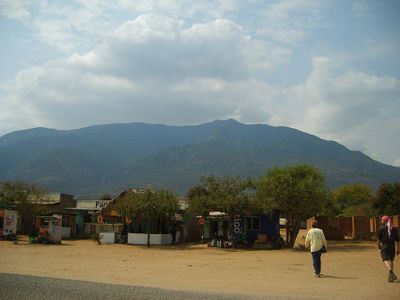
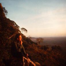
The Chagga people, who have lived on the lower slopes for generations, regard this mountain as deeply connected to their daily life and identity. Many of the porters and guides who accompany climbers along the routes come from these communities, passing on local knowledge directly to visitors.

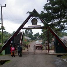
Most routes take between five and eight days to complete, and longer routes generally allow the body more time to adjust to the altitude. Hiring a licensed guide is required inside the park, so booking in advance through a registered operator is the standard way to start planning.

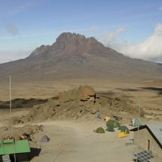
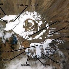
Kilimanjaro is a free-standing volcano with no neighboring peaks, making it visible from a distance of over 50 miles (80 kilometers) in clear conditions. On certain routes, the path crosses old lava flows and volcanic rock fields, visible reminders that the mountain was once active, even though it has been dormant for centuries.

The community of curious travelers

AroundUs brings together thousands of curated places, local tips, and hidden gems, enriched daily by 60,000 contributors worldwide.

Start exploring
Location
GPS coordinates
-3.07583,37.35333
Latest update
March 3, 2026 08:22
Reviews
Share your experience

No review yet

Discussions
Start a discussion...

No discussion yet

« Mount Kilimanjaro climbing routes - overview about Mount Kilimanjaro climbing routes » is provided by Around Us (aroundus.com). Images and texts are derived from Wikimedia project under a Creative Commons license. You are allowed to copy, distribute, and modify copies of this page, under the conditions set by the license, as long as this note is clearly visible.

Discover hidden gems everywhere you go!

From secret cafés to breathtaking viewpoints, skip the crowded tourist spots and find places that match your style. Our app makes it easy with voice search, smart filtering, route optimization, and insider tips from travelers worldwide. Download now for the complete mobile experience.

Around Us App Screenshot

A unique approach to discovering new places

Le Figaro

All the places worth exploring

France Info

A tailor-made excursion in just a few clicks

20 Minutes

Around Us
Travel Guide & Maps
Download

Send to your phone

QR Code
1

Open the camera app on your mobile.

2

Point at the QR code with your camera. A notification will appear.

3

Tap the notification to open the link.