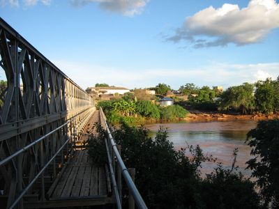
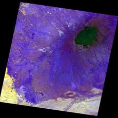
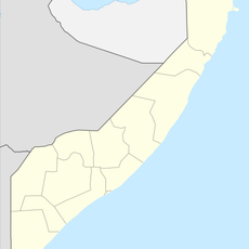
Jubba River, Major river in southern Somalia
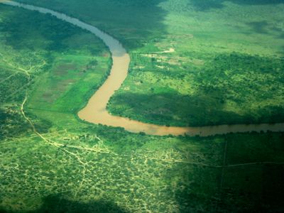
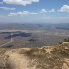
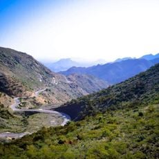
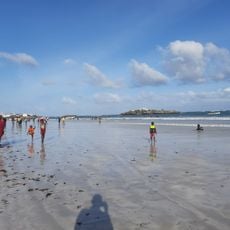
The Jubba River flows about 875 kilometers from the Mendebo Mountains in Ethiopia across Somalia to the Indian Ocean near Kismaayo port. The river creates a green corridor through dry land where wildlife including giraffes and hippos find water and shelter.
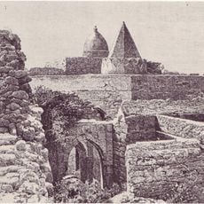
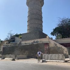
During the Middle Ages, the Ajuran Empire controlled the Jubba River and built advanced irrigation systems and limestone wells that some still function today. This engineering shows how early societies harnessed the river's water for survival in dry regions.
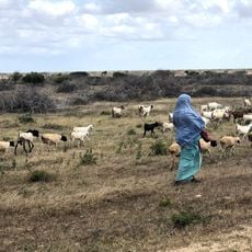
The river shapes how people in Jubaland have built their lives, with farming families tending crops like cotton, peanuts, and bananas along the banks as they have for generations. Daily routines here follow the river's patterns and seasonal changes.
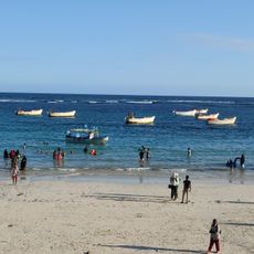
Small boats and shallow-draft vessels can navigate the river from the coast inland to about 32 kilometers past Baardheere for trade and travel. Water levels change with the seasons, which affects what sizes of boats can use the river safely.
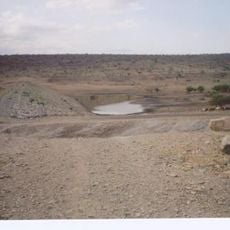
The river flows with water year-round, making it a lifeline through otherwise dry country where little else survives. This steady water source is what keeps the few green areas here alive in an otherwise parched landscape.
The community of curious travelers
AroundUs brings together thousands of curated places, local tips, and hidden gems, enriched daily by 60,000 contributors worldwide.