Mount Kaba, Stratovolcano in Pematang Danau, Indonesia.
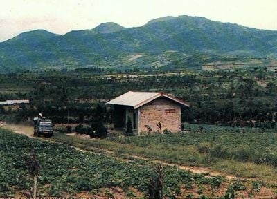
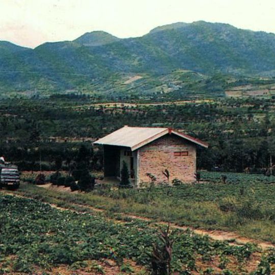
Mount Kaba is a 1,938-metre stratovolcano in Selupu Rejang, Rejang Lebong Regency, about 15 km southeast of Curup. Its summit holds two craters, one green and one whitish-brown. The mountain's green slopes, with darker forest above and lighter patches below, rise behind fields and a small brick building with a pale roof.
In 1833 an eruption ejected water from the crater lake, sending lahars down the slopes that damaged and killed people in the villages of Talang, Klingi and Bliti. Explosions also occurred in the summit craters and in Kawah Vogelsang on the upper northeast flank during the 19th and 20th centuries. The volcano is monitored by the Global Volcanism Program of the Smithsonian Institution.
The name Kaba comes from the Rejang words Têbo Kabêak. Since 2000, villagers of Sumber Urip have run the climbing post through Pokdarwis Bukit Kaba, a community tourism group working with the BKSDA Bengkulu, which manages the nature tourism park. The area was first protected as a nature reserve for Rafflesia flowers.
Two routes reach the summit: a gravel path through plantation forest and a steeper jungle trail that needs local guides. Climbers should prepare for changing weather and wear sturdy footwear for either route.
The summit holds two craters, one green and one brownish-white, as described in Indonesian sources; the green one is the dormant Kawah Lama, the largest of the summit craters. The 1833 eruption threw water from the crater lake, sending lahars that damaged Talang, Klingi and Bliti villages.
The community of curious travelers
AroundUs brings together thousands of curated places, local tips, and hidden gems, enriched daily by 94,106 contributors worldwide.