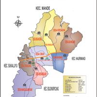
Cianjur, Administrative region in West Java, Indonesia.
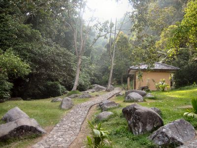
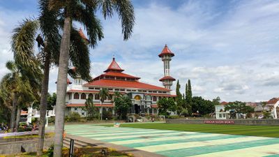
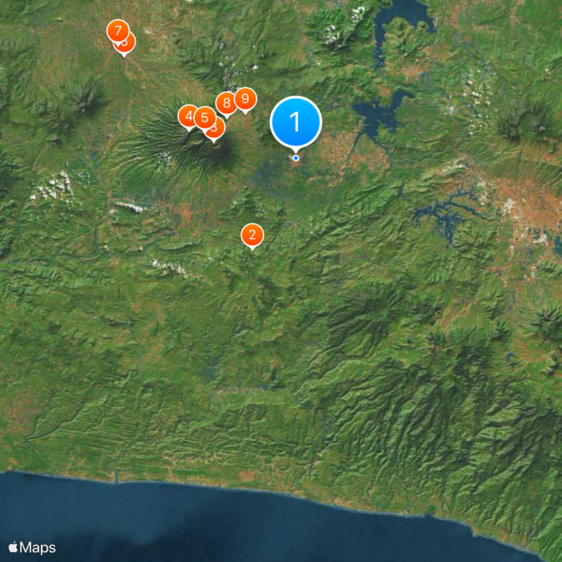
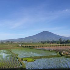
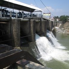
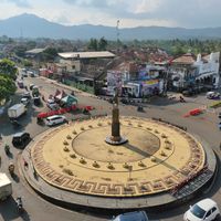
Cianjur is an administrative region in West Java, Indonesia, that stretches between mountain ranges and densely settled valleys in the north. The southern areas feel more rural and less populated, while the northern valley sections hold several larger towns.
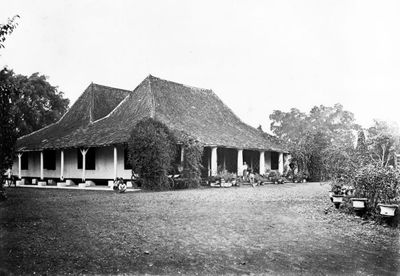
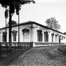
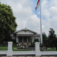
The region took shape in the 17th century under R. A. Wiratanudatar I., whose family maintained ties to the older Sundanese city of Pajajaran. The administrative structures evolved later during Dutch influence and continued after Indonesian independence.
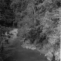
The name comes from the Sundanese language and means river of the shallot. Visitors today meet craftspeople who work leather, carve wood, and shape pottery using methods passed down through generations, with workshops dotting village roads and showing techniques that remain part of everyday life in many neighborhoods.
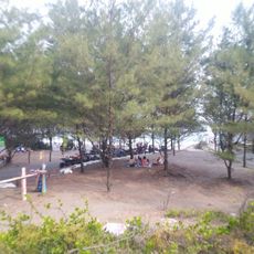
The main road links the area to Jakarta in the west and Bandung to the east, with both cities within a few hours of travel. Hikers find more remote paths and smaller villages in the southern part, while the northern sections are more densely settled and easier to reach.
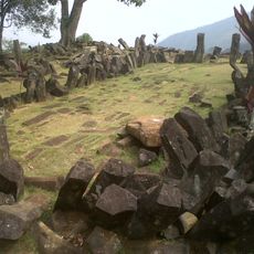
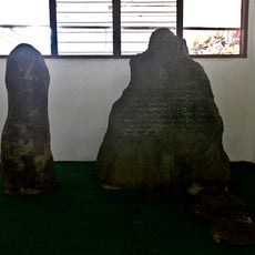
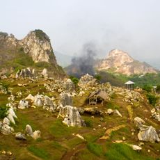
On Mount Padang, about an hour's drive away, megalithic terrace structures stand among the oldest stone constructions in Southeast Asia. The site spreads across several levels and shows stone formations whose arrangement still raises questions about their original use.
The community of curious travelers
AroundUs brings together thousands of curated places, local tips, and hidden gems, enriched daily by 60,000 contributors worldwide.