Pondok Cabe Ilir, subdistrict in South Tangerang City, Banten, Indonesia
Location: Pamulang
Elevation above the sea: 63 m
GPS coordinates: -6.33333,106.76611
Latest update: March 5, 2025 07:17
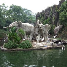
Ragunan Zoo
6.4 km
Dian Al-Mahri Mosque
5.7 km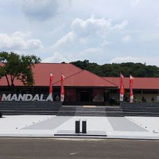
Satriamandala Museum
12.7 km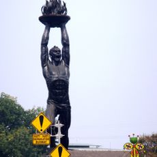
Youth Advancement Monument
12.2 km
Bundaran Senayan
12.4 km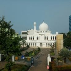
Al-Azhar Great Mosque
11.6 km
Kuningan Barat
12.7 km
Lebak Bulus
5 km
District 8 Jakarta
12.5 km
Kites Museum of Indonesia
3.9 km
Tegal Parang
12.7 km
Kuningan Timur
12.8 km
Masjid Agung Al-Azhar
11.5 km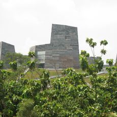
University of Indonesia Central Library
7.9 km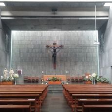
Gereja Santa
11.8 km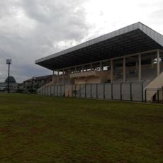
Mahakam Stadium
10.7 km
Pasar Induk Kramat Jati
12.5 km
Arteri
12.9 km
Tanjung Timur
10.5 km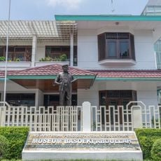
Museum Basoeki Abdullah
5.7 km
Gandaria
10.2 km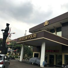
Police Museum
11.2 km
Museum Betawi
6.5 km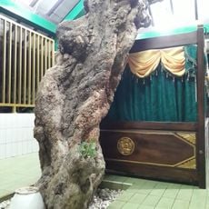
Maqam Wali
8.2 km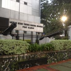
Pusat Sejarah Markas Besar TNI
12.8 km
Lemsaneg
6.9 km
MolekLane Museum
2.6 km
Cibodas
13 kmReviews
Visited this place? Tap the stars to rate it and share your experience / photos with the community! Try now! You can cancel it anytime.
Discover hidden gems everywhere you go!
From secret cafés to breathtaking viewpoints, skip the crowded tourist spots and find places that match your style. Our app makes it easy with voice search, smart filtering, route optimization, and insider tips from travelers worldwide. Download now for the complete mobile experience.

A unique approach to discovering new places❞
— Le Figaro
All the places worth exploring❞
— France Info
A tailor-made excursion in just a few clicks❞
— 20 Minutes