Enable Location

We need your location to show you interesting places around you

Discover nearby places

Find interesting locations and hidden gems around you

Precise directions

Get accurate directions and distances to places

Your location is never shared with other users. It's only used when you tap the location button.

Log in to your account

Start exploring — it's free

Trusted by 61,658 travelers worldwide

Continue with Google
Continue with Apple
or

We will send you a code to connect

By continuing, you accept our Terms and Conditions and our Privacy Policy

Check your inbox

We've sent a pincode in your inbox. Please enter the code below.

Mampang Prapatan

Mampang Prapatan, Administrative district in South Jakarta, Indonesia

Description

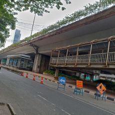
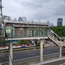
Mampang Prapatan is an administrative district in South Jakarta made up of five neighborhoods: West Kuningan, Pela Mampang, Bangka, Tegal Parang, and Mampang Prapatan itself. The area is bordered by three rivers and major roads that define its boundaries.

History

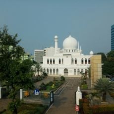
The Al Barkah Mosque was built in 1818 and remains one of the oldest structures in the district, showing traditional Javanese design. It serves as a religious center and reflects the area's long history.

Culture

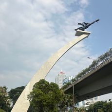
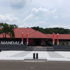
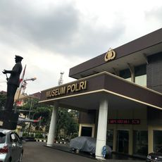
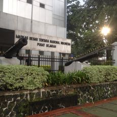
Two museums in the district attract people interested in learning: one focuses on Indonesia's military past, the other on scientific discoveries and innovations. These institutions shape how residents and visitors understand the region's role in the country's development.

Practical

Each neighborhood has its own postal code to help identify locations: West Kuningan 12710, Pela Mampang 12720, Bangka 12730, and Tegal Parang and Mampang Prapatan share 12790. Knowing these codes helps when asking for directions or finding specific addresses.

Did you know?

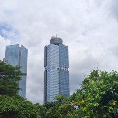
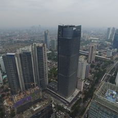
Pela Mampang stands out as the most densely populated among the five neighborhoods, shaping much of the district's character and development. The residential composition varies noticeably across each section.

Location
Elevation above the sea
27 m
GPS coordinates
-6.25180,106.81810
Latest update
December 20, 2025 12:07

AroundUs brings together thousands of curated places, local tips, and hidden gems, enriched daily by 60,000 contributors worldwide. Discover all places nearby (South Jakarta).

« Mampang Prapatan - Administrative district in South Jakarta, Indonesia » is provided by Around Us (aroundus.com). Images and texts are derived from Wikimedia project under a Creative Commons license. You are allowed to copy, distribute, and modify copies of this page, under the conditions set by the license, as long as this note is clearly visible.

Discover hidden gems everywhere you go!

From secret cafés to breathtaking viewpoints, skip the crowded tourist spots and find places that match your style. Our app makes it easy with voice search, smart filtering, route optimization, and insider tips from travelers worldwide. Download now for the complete mobile experience.

Around Us App Screenshot

A unique approach to discovering new places

Le Figaro

All the places worth exploring

France Info

A tailor-made excursion in just a few clicks

20 Minutes

Around Us
Travel Guide & Maps
Download

Send to your phone

QR Code
1

Open the camera app on your mobile.

2

Point at the QR code with your camera. A notification will appear.

3

Tap the notification to open the link.