Cibubur, Administrative village in East Jakarta, Indonesia
Cibubur is an administrative village in East Jakarta situated between Jalan Raya Bogor and the Jonggol region, covering approximately 4.50 square kilometers. The area sits at about 75 meters elevation and functions as a transition zone between the capital and surrounding regions.
The area was part of the Meester Cornelis territory during Dutch colonial rule and bordered the Jonggol Onderafdeling administrative division. Following Indonesian independence, it became restructured as an administrative district within Jakarta.
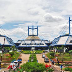
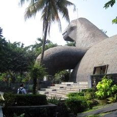
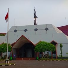
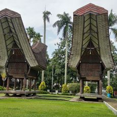
The national Scouting center Bumi Perkemahan dan Graha Wisata Pramuka anchors the area with its camping facilities and outdoor youth programs. The location serves as a gathering place for community activities and young people's development initiatives.
The area connects to major transportation routes via the Jagorawi Toll Road and Transyogi Road, making it accessible to Jakarta, Bogor, and surrounding areas. Visitors should be aware of local traffic patterns and allow extra time during rush hours for travel.
Although officially a single administrative village, the name Cibubur actually extends across developments in four separate autonomous regions: East Jakarta, Bogor Regency, Depok, and Bekasi. This geographic split makes the area an unusual case of suburban expansion across municipal boundaries.
The community of curious travelers
AroundUs brings together thousands of curated places, local tips, and hidden gems, enriched daily by 60,000 contributors worldwide.