
Rawajati, kelurahan of Indonesia
Location: Pancoran
Elevation above the sea: 29 m
GPS coordinates: -6.25910,106.85470
Latest update: March 3, 2025 21:24
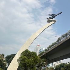
Dirgantara Monument
2.2 km
Jakarta–Cikampek Toll Road
3.4 km
Jagorawi Toll Road
2.1 km
Satriamandala Museum
5 km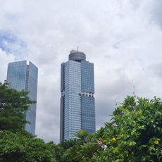
Gama Tower
4.5 km
BKN (Transjakarta)
1.7 km
Kuningan Barat
4 km
PGC 2
1.3 km
Matraman Baru
5.2 km
Kampung Melayu (Transjakarta)
4.1 km
Purna Bhakti Pertiwi Museum
5.9 km
Tegal Parang
3.4 km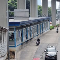
Kuningan Timur
3.9 km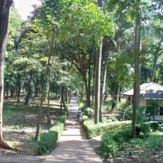
Tebet Eco Park
2.2 km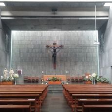
Gereja Santa
5 km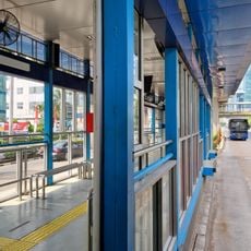
Kuningan Madya
5.8 km
Sinematek Indonesia
4.8 km
Cipinang Kebon Nanas
3.9 km
Slamet Riyadi
5.6 km
Pasar Induk Kramat Jati
4.4 km
Tanjung Timur
4.9 km
Fort Meester Cornelis
4.3 km
Taman Benyamin Sueb
5.2 km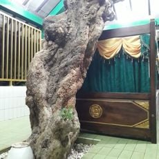
Maqam Wali
5.1 km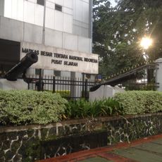
Pusat Sejarah Markas Besar TNI
4.9 km
Batu Tumbuh Kramat Jati
2.2 km
Freedom Library
5.8 km
The Erasmus Huis Library
4 kmVisited this place? Tap the stars to rate it and share your experience / photos with the community! Try now! You can cancel it anytime.
Discover hidden gems everywhere you go!
From secret cafés to breathtaking viewpoints, skip the crowded tourist spots and find places that match your style. Our app makes it easy with voice search, smart filtering, route optimization, and insider tips from travelers worldwide. Download now for the complete mobile experience.

A unique approach to discovering new places❞
— Le Figaro
All the places worth exploring❞
— France Info
A tailor-made excursion in just a few clicks❞
— 20 Minutes