Banyumas, Administrative district in Central Java, Indonesia.
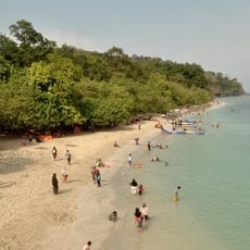
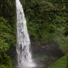
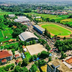
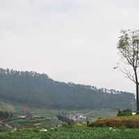
Banyumas is an administrative district in Central Java featuring varied landscapes with numerous villages including Binangun, Kejawar, and Danaraja spread across its territory. The region sits at approximately 24 meters elevation and is shaped by geographic features that define its character and daily rhythms.
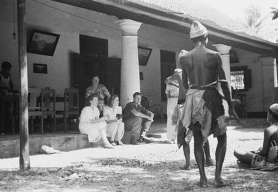
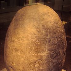
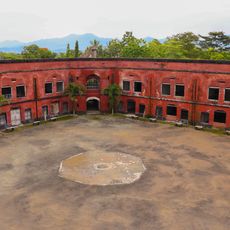
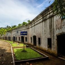
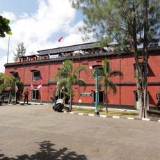
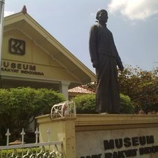
The district emerged during the Dutch colonial period as part of the Banyumas Residency and served as an agricultural center for rice and sugarcane cultivation. This colonial past shaped the area's structural development and economic orientation for generations to come.
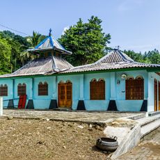
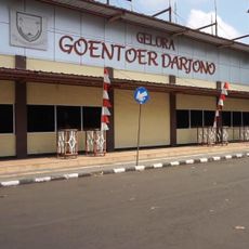
The district keeps Javanese traditions alive through traditional dances and music performed at community gatherings and public events. These cultural practices are woven into the everyday life of residents and visitors alike.
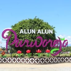
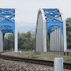
The region is well connected through Purwokerto Railway Station to major transportation routes, making it easy to explore surrounding areas of Central Java. Visitors can navigate the rural landscape while enjoying good access to transport options that link it to other parts of the region.
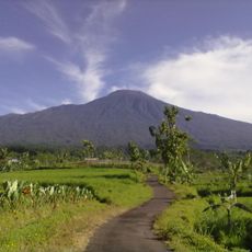
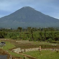
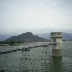
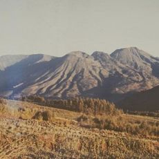
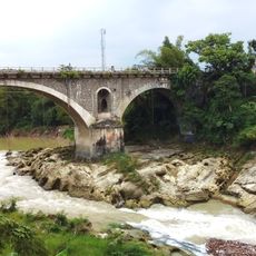
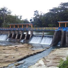
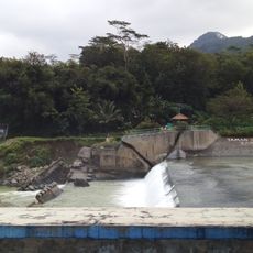
Mount Slamet dominates the district's horizon and creates a striking backdrop that defines views from many vantage points. The Serayu River flows through the territory, connecting the various volcanic formations into a cohesive natural system.
The community of curious travelers
AroundUs brings together thousands of curated places, local tips, and hidden gems, enriched daily by 60,000 contributors worldwide.