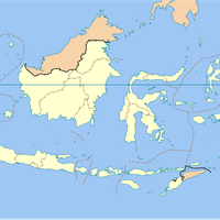
Sempor, Administrative district in Kebumen, Indonesia
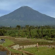
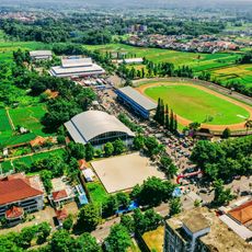
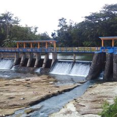
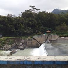
Sempor is an administrative district in Kebumen covering 138.4 square kilometers within the South Serayu Mountains. The area spans multiple villages distributed across the landscape, with terrain varying from valley floors to forested slopes.
Under Dutch colonial rule, the area formed part of Karanganyar Regency before being reorganized into the present Kebumen administration. This administrative shift reshaped how the region was organized and managed.
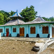
The 16 villages show living farming traditions where residents cultivate rice fields and manage pine forests using knowledge passed down through generations. In these settlements, visitors can observe how agriculture shapes daily rhythms and local livelihoods.
The administrative center is located in Jatinegara village and provides local services for both residents and visitors. The dry season offers easier access to the various villages and forest areas throughout the district.
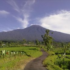
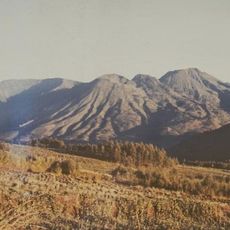
Mount Wadasputih reaches 654 meters and marks the highest point in the district, situated at the border between Sampang village and Rowokele. The summit offers sweeping views across the surrounding valleys and mountain ridges.
The community of curious travelers
AroundUs brings together thousands of curated places, local tips, and hidden gems, enriched daily by 60,000 contributors worldwide.