
Datah, village in Karangasem Regency, Bali, Indonesia
Location: Abang
Elevation above the sea: 387 m
GPS coordinates: -8.34667,115.58222
Latest update: April 14, 2025 08:46
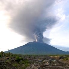
Mount Agung
8.3 km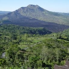
Mount Batur
25.5 km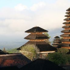
Besakih
14.6 km
Pura Penataran Agung Lempuyang
7.3 km
Penglipuran Village
26 km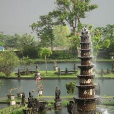
Tirta Gangga
7.3 km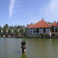
Ujung Water Palace
14 km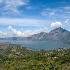
Lake Batur
25.3 km
Pura Lempuyang Luhur
7.3 km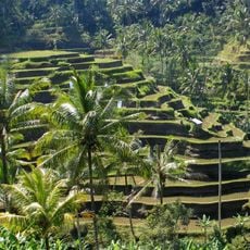
Cultural Landscape of Bali Province: the Subak System as a Manifestation of the Tri Hita Karana Philosophy
22 km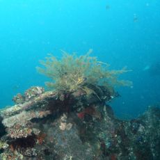
USAT Liberty Wreck
8.2 km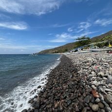
Lipah Beach
11.8 km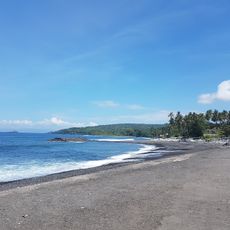
Jasri Beach
15.3 km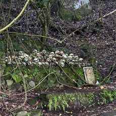
Trunyan Cemetery
20.6 km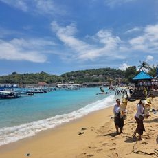
Padang Bai Beach
22 km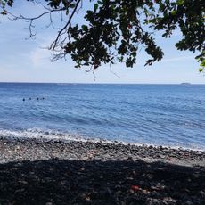
Pantai Tulamben
8 km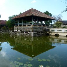
Puri Agung Karangasem
11.4 km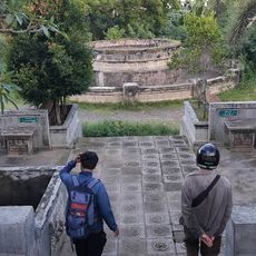
Taman Sekuta
11.2 km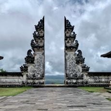
Lempuyang Gate of Heaven
7.3 km
Pantai Ujung
14.9 km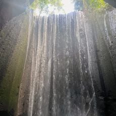
Tukad Cepung Waterfall
23.9 km
Pura Gelap
14.3 km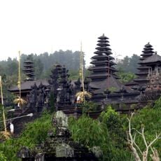
Pura Batu Madeg
14.5 km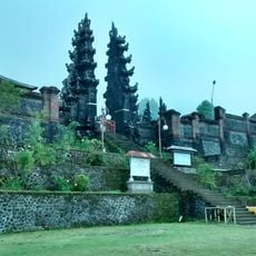
Pura Pasar Agung Giri Tolangkir
9.1 km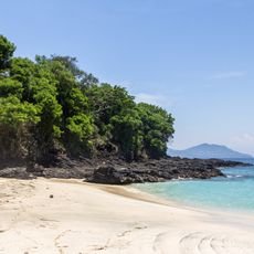
Bias Tugel Beach
22.6 km
Ikandive / Balimoon divers
21.9 km
Pura Silayukti
21.9 km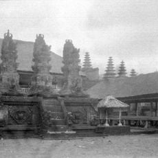
Pura Penataran Agung Besakih
14.6 kmReviews
Visited this place? Tap the stars to rate it and share your experience / photos with the community! Try now! You can cancel it anytime.
Discover hidden gems everywhere you go!
From secret cafés to breathtaking viewpoints, skip the crowded tourist spots and find places that match your style. Our app makes it easy with voice search, smart filtering, route optimization, and insider tips from travelers worldwide. Download now for the complete mobile experience.

A unique approach to discovering new places❞
— Le Figaro
All the places worth exploring❞
— France Info
A tailor-made excursion in just a few clicks❞
— 20 Minutes