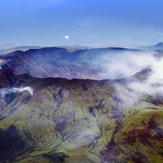
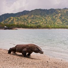
Flores Sea, Marine passage between Sulawesi and Lesser Sunda Islands, Indonesia
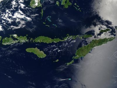
The Flores Sea is a marine passage between Sulawesi and the Lesser Sunda Islands spanning approximately 240,000 square kilometers of Indonesian waters. Its southern basin plunges to depths exceeding 5,000 meters, while western areas remain considerably shallower.
The International Hydrographic Organization classified the Flores Sea as a key component of the East Indian Archipelago during early maritime charting efforts. This designation established the boundaries for mapping the Indonesian maritime region.
Local fishing communities along the surrounding coasts rely on these waters as the center of their daily work and traditions. The sea shapes how people in the region live and what they do for a living.
Ocean currents follow a seasonal pattern, shifting from southwest flow during winter months to northeast movement in summer. Anyone planning water activities should be aware of these changing current directions when visiting the region.
Submarine mountains topped with coral atolls rise from the seafloor across the region, creating distinctive underwater landscapes. These submerged peaks form unique habitats for specialized marine life adapted to the varied water depths.
The community of curious travelers
AroundUs brings together thousands of curated places, local tips, and hidden gems, enriched daily by 60,000 contributors worldwide.