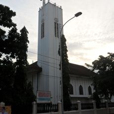
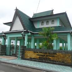
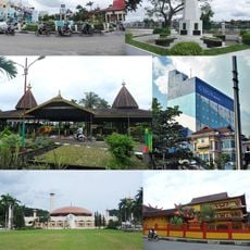
South Hulu Sungai, Administrative region in South Kalimantan, Indonesia.
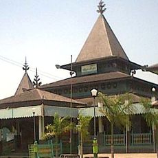
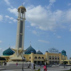
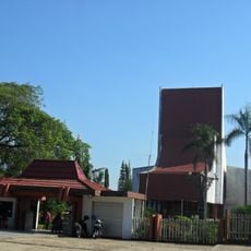
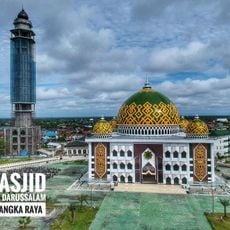
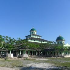
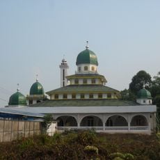
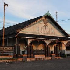
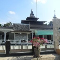
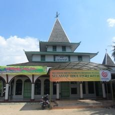
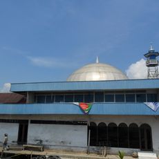
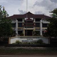
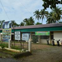
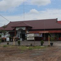
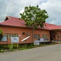
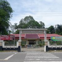
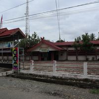
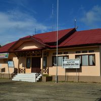
South Hulu Sungai is an administrative regency in South Kalimantan that covers roughly 1,800 square kilometers across eleven districts. Kandangan serves as the main administrative center where local government operations are based.
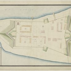
The region came into being through the division of the original Hulu Sungai territory in 1959. Further administrative changes followed in 1965 when Tapin Regency was separated from the original area.
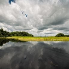
The name reflects the region's geography, with 'Hulu Sungai' meaning 'river source' in the local language, referring to the upland areas where water flows down from higher elevations. The people here have long organized themselves through community meetings where decisions come from shared discussion rather than top-down orders.
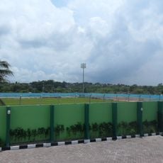
The region divides into 148 villages spread across its eleven districts, each with its own postal code system. This organization helps with mail delivery and local administrative matters.
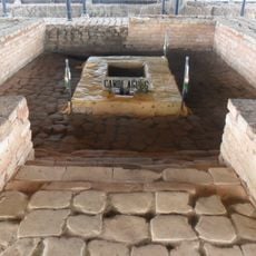
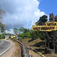
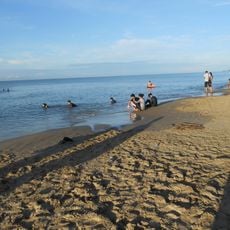
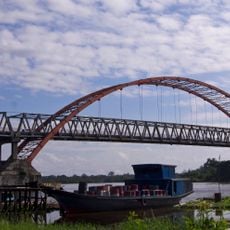
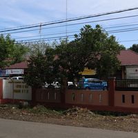
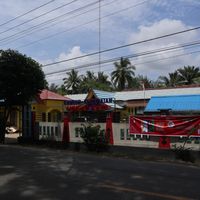
The districts here include places like Loksado and Telaga Langsat, which sit in the upland interior away from major population centers. These locations offer quieter glimpses of regional life far from the main administrative hub.
Location: South Kalimantan
Capital city: Kandangan
Elevation above the sea: 41 m
Shares border with: North Hulu Sungai, Central Hulu Sungai, Kotabaru, Banjar, Tapin
Website: http://hulusungaiselatan.go.id
GPS coordinates: -2.78667,115.26592
Latest update: December 7, 2025 10:08
Agung Temple
41.6 km
Lok Baintan Floating Market
85.4 km
Sultan Suriansyah Mosque
95.3 km
Bukit Soeharto Grand Forest Park
287.2 km
Batakan Stadium
254.4 km
Al-Karomah Great Mosque
83 km
Sabilal Muhtadin Grand Mosque
95.6 km
Angsana Beach
115.3 km
Sabangau National Park
161.8 km
Lambung Mangkurat Museum
87.1 km
Kahayan Bridge
163 km
May 17th Stadium
96.4 km
Darussalam Grand Mosque, Palangka Raya
165 km
Jami Mosque of Banjarmasin
94.4 km
Tuah Pahoe Stadium
162.9 km
Sungai Banar Jami Mosque
38.7 km
Sadurengas Museum
140.6 km
Holy Family Cathedral, Banjarmasin
96 km
Persiba Stadium
244.5 km
Pangeran Antasari Tomb
94.2 km
Fort Tabanio
130.4 km
Keramat Palajau Mosque
25.1 km
Jami Mosque of Datu Abulung
80.5 km
Ar Raudhah Great Mosque
111.2 km
Al-Istiqlal Great Mosque, Murung Raya
249.7 km
Kelayan Muhammadiyah Mosque
95.9 km
Komet Windpump
86.9 km
Banjarmasin
95.7 kmVisited this place? Tap the stars to rate it and share your experience / photos with the community! Try now! You can cancel it anytime.
Discover hidden gems everywhere you go!
From secret cafés to breathtaking viewpoints, skip the crowded tourist spots and find places that match your style. Our app makes it easy with voice search, smart filtering, route optimization, and insider tips from travelers worldwide. Download now for the complete mobile experience.
A unique approach to discovering new places❞
— Le Figaro
All the places worth exploring❞
— France Info
A tailor-made excursion in just a few clicks❞
— 20 Minutes