
River Sturt Flood Control Dam, dam in South Australia, Australia
Location: South Australia
Elevation above the sea: 119 m
GPS coordinates: -35.04111,138.58889
Latest update: March 6, 2025 14:32
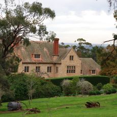
Carrick Hill
7.9 km
The Old Gum Tree
10 km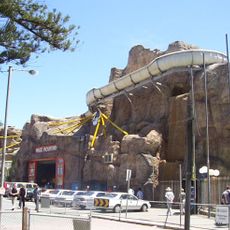
Magic Mountain, Glenelg
9.9 km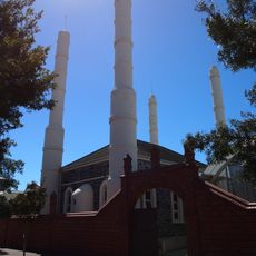
Central Adelaide Mosque
11.9 km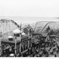
Luna Park Glenelg
9.9 km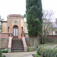
Belair National Park
7.9 km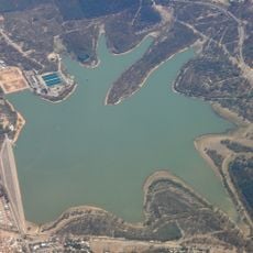
Happy Valley Reservoir
3.9 km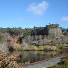
Mount Lofty Botanic Garden
12.8 km
Torrens Building
12.6 km
Burnside Village
12.1 km
Old Government House
6.5 km
Veale Gardens
11.6 km
Beaumont House
12.1 km
Capri Theatre
9.8 km
Contemporary Art Centre of South Australia
11.2 km
Cummins House, Adelaide
9.4 km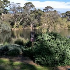
Wittunga Botanic Garden
2.7 km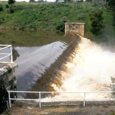
Clarendon Weir
8.9 km
St Patrick's Church, Adelaide
12.5 km
Ashford House
10.2 km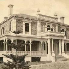
Benacre
10.4 km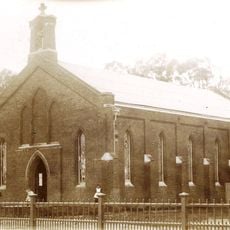
St John's Church, Adelaide
12.4 km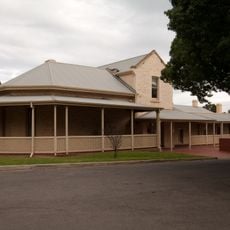
Kingston Historical House
6.5 km
Brown Hill, Mitcham
7.7 km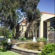
Burnside library
12.5 km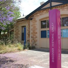
Unley Museum
10.2 km
Chinatown
12.4 km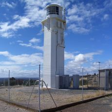
Marino Conservation Park Lighthouse
7.2 kmReviews
Visited this place? Tap the stars to rate it and share your experience / photos with the community! Try now! You can cancel it anytime.
Discover hidden gems everywhere you go!
From secret cafés to breathtaking viewpoints, skip the crowded tourist spots and find places that match your style. Our app makes it easy with voice search, smart filtering, route optimization, and insider tips from travelers worldwide. Download now for the complete mobile experience.

A unique approach to discovering new places❞
— Le Figaro
All the places worth exploring❞
— France Info
A tailor-made excursion in just a few clicks❞
— 20 Minutes